Loading...
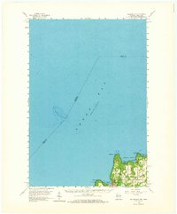
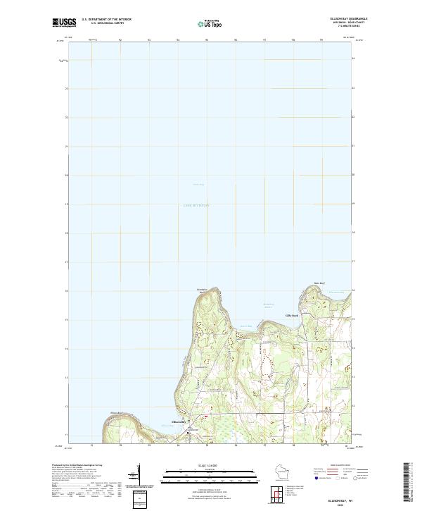
Loading map...1960 Map of Ellison Bay
USGS Topo · Published 1973About this map
Green Bay and the northern reaches of the Door Peninsula are defined here by a jagged coastline of bluffs and harbors as they appeared in 1960. The settlement of Gills Rock sits at the northern tip, serving as a hub for the Ferry route crossing towards the islands. Local life in the township of Liberty Grove is anchored by landmarks like Bethel Ch and the nearby Cem, while the maritime character of the region is evident in the naming of Deathdoor Bluff and Hedgehog Harbor.
Find a feature on this map
22 named features on this map. Tap any name to fly to it.
Don’t see what you’re looking for? This feature index may not catch every label — zoom into the map to look around manually.
Map Details
Date Portrayed1960
Date Published1973
PublisherU.S. Geological Survey
Map TypeTopographic
Scale1:62,500
Physical Dimensions18.57 x 22.42 inches
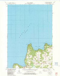
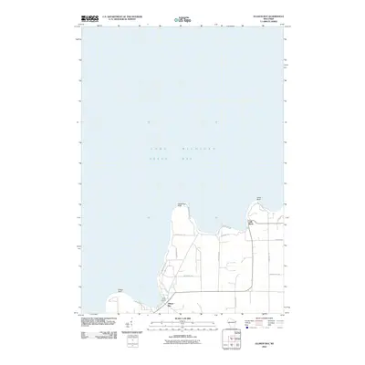
Editions of this 1960 Ellison Bay Map
2 editions found
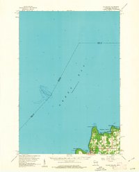
Historical Maps of Ellison Bay Through Time
7 maps found
Featured Locations
Source Details
SourceU.S. Geological Survey
CopyrightPublic Domain