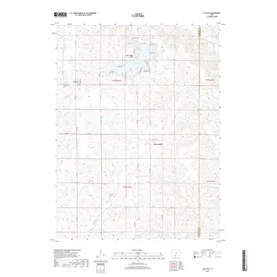
2018 Map of Ellston
USGS Topo · Published 2018About this map
Sun Valley Lake dominates the northern landscape of this Ringgold County quadrant, surrounded by a dense network of residential drives like Tomahawk Trl and Mormom Trl. The map documents the rural character of southwestern Iowa, where the small settlements of Ellston and Beaconsfield sit amidst a sprawling grid of secondary roads and section lines. The drainage patterns of Lotts Cr and W Elk Cr dictate the undulating topography between these quiet townships.
Find a feature on this map
42 named features on this map. Tap any name to fly to it.
Don’t see what you’re looking for? This feature index may not catch every label — zoom into the map to look around manually.
Map Details
Editions of this 2018 Ellston Map
This is the sole edition of this map. No revisions or reprints were ever made.
Other maps of this area
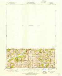
1945 · Mount Ayr
USGS Topo · 1:62,500
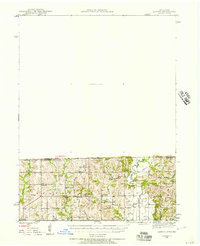
1945 · Lamoni
USGS Topo · 1:62,500
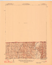
1947 · Lamoni
USGS Topo · 1:62,500
1947 · Mount Ayr
USGS Topo · 1:62,500
1954 · Centerville
USGS Topo · 1:250,000
1955 · Nebraska City
USGS Topo · 1:250,000
1957 · Nebraska City
USGS Topo · 1:250,000
1957 · Centerville
USGS Topo · 1:250,000
1958 · Centerville
USGS Topo · 1:250,000
1958 · Nebraska City
USGS Topo · 1:250,000