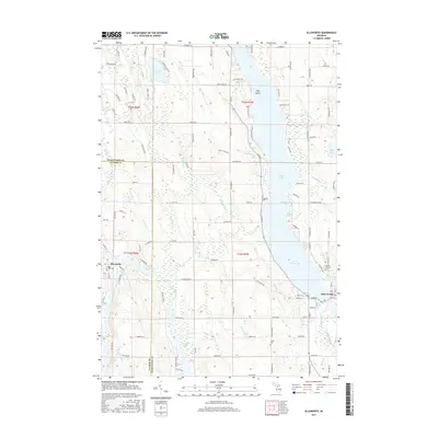
2017 Map of Ellsworth
USGS Topo · Published 2017About this map
Lake Charlevoix and its long South Arm anchor this landscape, where the interconnected waterways of the Chain o' Lakes system define the local geography. The settlement of Ellsworth sits at the northern tip of Ellsworth Lake, marking a point of transition between Saint Clair Lake and the southern flow of the Intermediate River. To the east, East Jordan occupies the end of the fjord-like arm of the main lake, positioned where the Jordan River enters the basin. This terrain is defined by a dense network of glacial lakes and creek drainages, including Nowland Lake, Sixmile Lake, and Wilson Lake. The inclusion of small family and community burial sites like Lakeside Cem and Jones Cem, along with named landmarks like Holy Island, provides clear markers of the generational settlement pattern along the Antrim and Charlevoix county line.
Find a feature on this map
124 named features on this map. Tap any name to fly to it.
Don’t see what you’re looking for? This feature index may not catch every label — zoom into the map to look around manually.
Map Details
Editions of this 2017 Ellsworth Map
This is the sole edition of this map. No revisions or reprints were ever made.
Other maps of this area
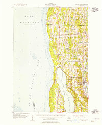
1954 · Central Lake
USGS Topo · 1:62,500
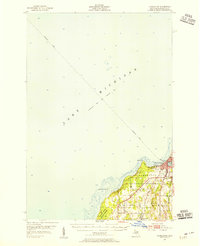
1954 · Charlevoix
USGS Topo · 1:62,500
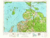
1955 · Cheboygan
USGS Topo · 1:250,000
1958 · Cheboygan
USGS Topo · 1:250,000
1958 · Bayshore
USGS Topo · 1:62,500
1961 · Boyne City
USGS Topo · 1:62,500
1975 · Boyne City NW
USGS Topo · 1:24,000
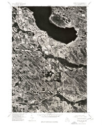
1975 · Boyne City NE
USGS Topo · 1:24,000
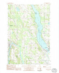
1983 · Ellsworth
USGS Topo · 1:25,000
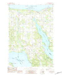
1983 · Bay Shore
USGS Topo · 1:25,000