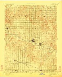
1894 Map of Ellsworth
USGS Topo · Published 1924About this map
Ellsworth serves as the central hub of this Central Kansas landscape, surveyed in the late nineteenth century when the region's character was defined by a expanding network of iron rails. The Union Pacific Railway and the Atchison Topeka and Santa Fe Railroad cut across the prairie, anchoring settlements like Kanopolis and Holyrood. The terrain is marked by a transition from the Saline River in the north to the distinctive Table Rock formation in the east.
Find a feature on this map
63 named features on this map. Tap any name to fly to it.
Don’t see what you’re looking for? This feature index may not catch every label — zoom into the map to look around manually.
Map Details
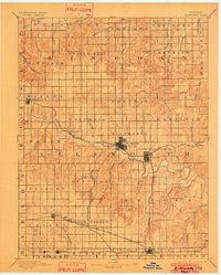
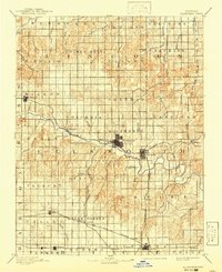
Editions of this 1894 Ellsworth Map
4 editions found
Other maps of this area

1891 · Great Bend
USGS Topo · 1:125,000

1891 · Hutchinson
USGS Topo · 1:125,000

1892 · Salina
USGS Topo · 1:125,000

1892 · Minneapolis
USGS Topo · 1:125,000

1893 · Great Bend
USGS Topo · 1:125,000

1893 · Hutchinson
USGS Topo · 1:125,000

1894 · Ellsworth
USGS Topo · 1:125,000

1894 · Lyons
USGS Topo · 1:125,000

1894 · Beloit
USGS Topo · 1:125,000

1896 · Osborne
USGS Topo · 1:125,000