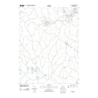
2010 Map of Ellsworth
USGS Topo · Published 2010About this map
Bentleyville and Marianna anchor this portion of Washington County, reflecting the industrial and residential patterns of southwestern Pennsylvania at the start of the twenty-first century. The landscape is marked by its mining heritage, specifically at Mine 51 and the associated Mine 51 Pond near the northern edge of the sheet. Resource management is evident through the series of reservoirs and dams, such as the Cokeburg Water Supply Dam and Somerset Number Sixty Dam, which define the local drainage basins of Pigeon Creek and Tenmile Creek.
Find a feature on this map
102 named features on this map. Tap any name to fly to it.
Don’t see what you’re looking for? This feature index may not catch every label — zoom into the map to look around manually.
Map Details
Editions of this 2010 Ellsworth Map
This is the sole edition of this map. No revisions or reprints were ever made.
Other maps of this area

1900 · Masontown
USGS Topo · 1:62,500

1901 · Amity
USGS Topo · 1:62,500

1901 · Waynesburg
USGS Topo · 1:62,500

1902 · Brownsville
USGS Topo · 1:62,500

1903 · Masontown
USGS Topo · 1:62,500

1904 · Amity
USGS Topo · 1:62,500

1904 · Waynesburg
USGS Topo · 1:62,500

1906 · Brownsville
USGS Topo · 1:62,500

1931 · Brownsville
USGS Topo · 1:62,500

1931 · Masontown
USGS Topo · 1:62,500