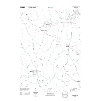
2013 Map of Ellsworth
USGS Topo · Published 2013About this map
Bentleyville and Ellsworth anchor the northern reaches of this landscape, where the local street grids and residential patterns reflect the area's long-established community structure. The map captures the complex water network of Washington County, with the Pigeon Creek and its various branches, including the Center Br Pigeon Cr, carving paths through the terrain. To the south, the twin settlements of Marianna and East Marianna sit along the banks of Tenmile Cr, illustrating how local topography and water access influenced the placement of these historic mining and industrial towns.
Find a feature on this map
204 named features on this map. Tap any name to fly to it.
Don’t see what you’re looking for? This feature index may not catch every label — zoom into the map to look around manually.
Map Details
Editions of this 2013 Ellsworth Map
This is the sole edition of this map. No revisions or reprints were ever made.
Other maps of this area

1900 · Masontown
USGS Topo · 1:62,500

1901 · Amity
USGS Topo · 1:62,500

1901 · Waynesburg
USGS Topo · 1:62,500

1902 · Brownsville
USGS Topo · 1:62,500

1903 · Masontown
USGS Topo · 1:62,500

1904 · Amity
USGS Topo · 1:62,500

1904 · Waynesburg
USGS Topo · 1:62,500

1906 · Brownsville
USGS Topo · 1:62,500

1931 · Brownsville
USGS Topo · 1:62,500

1931 · Masontown
USGS Topo · 1:62,500