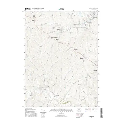
2016 Map of Ellsworth
USGS Topo · Published 2016About this map
Bentleyville and the surrounding coal-country settlements of Washington County define this landscape along the Pigeon Creek watershed. The area’s industrial and community history is visible through the concentration of mining-era towns like Cokeburg, Ellsworth, and Marianna, which developed around the local resource extraction of the early 20th century. High points such as Scenery Hill and Van Voorhis Hill overlook a complex network of local roads and waterways, including Tenmile Creek and Plum Run. Genealogists will find several notable burial grounds, such as Saint Clements Cem and Saint Lukes Cem in the north, and the Buckingham Cem further south. The map also documents modern utility and transportation features, from the Active Sludge Pond near Ellsworth to the small Horne Airport, providing a clear view of how these historic borough communities have adapted their land use over time.
Find a feature on this map
147 named features on this map. Tap any name to fly to it.
Don’t see what you’re looking for? This feature index may not catch every label — zoom into the map to look around manually.
Map Details
Editions of this 2016 Ellsworth Map
This is the sole edition of this map. No revisions or reprints were ever made.
Other maps of this area

1900 · Masontown
USGS Topo · 1:62,500

1901 · Amity
USGS Topo · 1:62,500

1901 · Waynesburg
USGS Topo · 1:62,500

1902 · Brownsville
USGS Topo · 1:62,500

1903 · Masontown
USGS Topo · 1:62,500

1904 · Amity
USGS Topo · 1:62,500

1904 · Waynesburg
USGS Topo · 1:62,500

1906 · Brownsville
USGS Topo · 1:62,500

1931 · Brownsville
USGS Topo · 1:62,500

1931 · Masontown
USGS Topo · 1:62,500