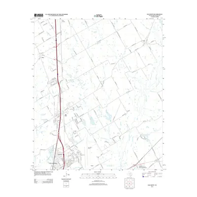
2013 Map of Elm Mott
USGS Topo · Published 2013About this map
Lacy-Lakeview and the nearby Northcrest community anchor the southern portion of this McLennan County survey, illustrating the residential and educational expansion north of Waco. The sprawling campus of Texas State Technical College-Waco and the adjacent TSTC Waco Airport dominate the local landscape, reflecting the region's long-standing connection to technical training and aviation. Further north, the settlement of Elm Mott serves as a central point along the Interstate 35 corridor, surrounded by smaller rural communities like Ross and Leroy.
Find a feature on this map
155 named features on this map. Tap any name to fly to it.
Don’t see what you’re looking for? This feature index may not catch every label — zoom into the map to look around manually.
Map Details
Editions of this 2013 Elm Mott Map
This is the sole edition of this map. No revisions or reprints were ever made.
Other maps of this area

1892 · Waco
USGS Topo · 1:125,000

1920 · Waco
USGS Topo · 1:125,000

1920 · Mart
USGS Topo · 1:62,500

1924 · Waco 4-c
USGS Topo · 1:48,000

1931 · Elm Mott
USGS Topo · 1:62,500

1954 · Waco
USGS Topo · 1:250,000

1955 · Waco
USGS Topo · 1:250,000

1956 · Penelope
USGS Topo · 1:24,000

1956 · Axtell
USGS Topo · 1:24,000

1956 · West
USGS Topo · 1:24,000