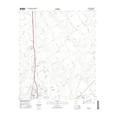
2016 Map of Elm Mott
USGS Topo · Published 2016About this map
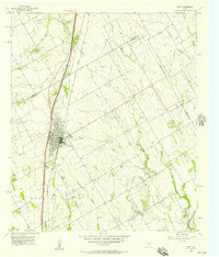
The northern fringes of Waco and the neighboring communities of Lacy-Lakeview and Bellmead define this 2016 survey of McLennan County. This area serves as a critical transportation and education hub, featuring the sprawling campus of Texas State Technical Coll-Waco and the adjacent TSTC Waco Airport. The landscape is etched by a dense network of tributaries including Little Tehuacana Cr, Post Oak Cr, and Wildcat Cr, which drain the prairie toward the Brazos River valley to the south.
Find a feature on this map
139 named features on this map. Tap any name to fly to it.
Don’t see what you’re looking for? This feature index may not catch every label — zoom into the map to look around manually.
Map Details
Editions of this 2016 Elm Mott Map
This is the sole edition of this map. No revisions or reprints were ever made.
Other maps of this area
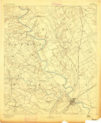
1892 · Waco
USGS Topo · 1:125,000
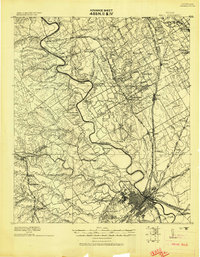
1920 · Waco
USGS Topo · 1:125,000
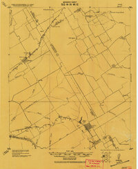
1920 · Mart
USGS Topo · 1:62,500
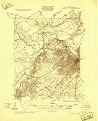
1924 · Waco 4-c
USGS Topo · 1:48,000
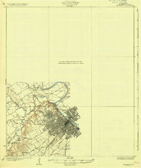
1931 · Elm Mott
USGS Topo · 1:62,500

1954 · Waco
USGS Topo · 1:250,000

1955 · Waco
USGS Topo · 1:250,000
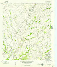
1956 · Penelope
USGS Topo · 1:24,000
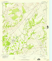
1956 · Axtell
USGS Topo · 1:24,000
1956 · West
USGS Topo · 1:24,000