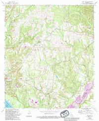
1965 Map of Elm Park
USGS Topo · Published 1994About this map
St Francisville and its surrounding plantation landscape are meticulously documented in this mid-century survey, which reflects the historical settlement patterns along the bluffs above the Mississippi River. The map highlights a series of significant estates, including the Rosedown Plantation and Cottage Plantation, which were central to the regional economy. This particular edition includes 1965 revisions that capture the evolving land use near the West Feliciana Parish and East Feliciana Parish boundary.
Find a feature on this map
41 named features on this map. Tap any name to fly to it.
Don’t see what you’re looking for? This feature index may not catch every label — zoom into the map to look around manually.
Map Details
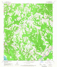
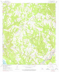
Editions of this 1965 Elm Park Map
3 editions found
Other maps of this area

1906 · Bayou Sara
USGS Topo · 1:125,000

1939 · St. Francisville
USGS Topo · 1:62,500

1939 · Zachary
USGS Topo · 1:62,500

1941 · Lost Creek
USGS Topo · 1:31,680

1945 · Jackson
USGS Topo · 1:31,680

1945 · Lost Creek
USGS Topo · 1:31,680

1953 · New Roads
USGS Topo · 1:24,000

1954 · Zachary
USGS Topo · 1:24,000

1954 · Port Hudson
USGS Topo · 1:24,000

1954 · Elm Park
USGS Topo · 1:24,000