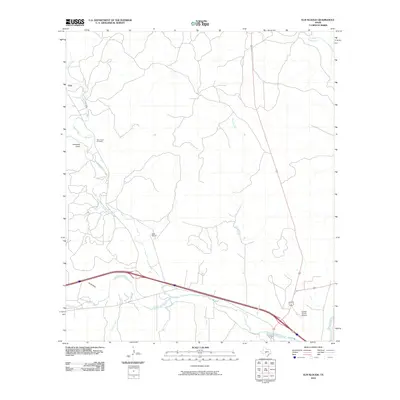
2010 Map of Elm Slough
USGS Topo · Published 2010About this map
Bear Creek Cemetery and the settlement of Cleo anchor this Hill Country landscape, where the drainage patterns of the North Llano River system define the local geography. The area transitions from the winding course of the Llano River in the southeast toward more intermittent drainages like Earwood Draw and Ox Hollow in the west. This 2010 survey shows the modern footprint of Kimble County Airport near the river forks, illustrating how contemporary transportation infrastructure follows the natural corridors established by water. Ranching life is noted through locations like Bolt Ranch, while numerous creeks including Nixon Creek, Falls Creek, and Gentry Creek trace the relief of the Edwards Plateau. The eponymous Elm Slough carves a path through the eastern portion of the quadrangle, serving as a primary hydrological feature in this semi-arid terrain.
Find a feature on this map
13 named features on this map. Tap any name to fly to it.
Don’t see what you’re looking for? This feature index may not catch every label — zoom into the map to look around manually.
Map Details
Editions of this 2010 Elm Slough Map
This is the sole edition of this map. No revisions or reprints were ever made.
Other maps of this area

1932 · Junction
USGS Topo · 1:62,500

1954 · Llano
USGS Topo · 1:250,000

1955 · Llano
USGS Topo · 1:250,000

1956 · Llano
USGS Topo · 1:250,000

1970 · Julio Draw
USGS Topo · 1:24,000
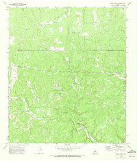
1970 · Rust Ranch
USGS Topo · 1:24,000

1970 · Brewer Hollow
USGS Topo · 1:24,000

1970 · Elm Slough
USGS Topo · 1:24,000
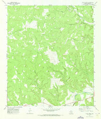
1970 · Stark Creek
USGS Topo · 1:24,000
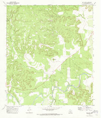
1970 · Big Draw
USGS Topo · 1:24,000