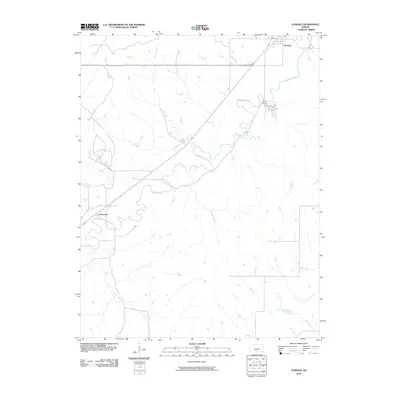
2010 Map of Elmdale
USGS Topo · Published 2010About this map
The Cottonwood River carves a winding path through this portion of Chase County, defining the agricultural landscape between the small settlements of Elmdale and Clements. These communities are connected by a primary roadway that cuts diagonally across the prairie, crossing several drainage systems including Silver Creek and Gould Creek. The presence of Camp Wood on Campwood Rd indicates the area's use for recreation or organized gatherings, situated near the river’s north bank. Topographically, the map reveals a system of tributary branches such as Coyne Branch and Holmes Creek that feed into the main river valley, illustrating the drainage patterns essential to the local ranching and farming operations of the Flint Hills region.
Find a feature on this map
12 named features on this map. Tap any name to fly to it.
Don’t see what you’re looking for? This feature index may not catch every label — zoom into the map to look around manually.
Map Details
Editions of this 2010 Elmdale Map
This is the sole edition of this map. No revisions or reprints were ever made.
Other maps of this area

1898 · Cottonwood Falls
USGS Topo · 1:125,000

1955 · Hutchinson
USGS Topo · 1:250,000

1957 · Elmdale
USGS Topo · 1:24,000

1957 · Strong City
USGS Topo · 1:24,000

1957 · Wonsevu
USGS Topo · 1:24,000

1957 · Cedar Point
USGS Topo · 1:24,000

1957 · Hymer
USGS Topo · 1:24,000

1959 · Hutchinson
USGS Topo · 1:250,000

1970 · Lincolnville NE
USGS Topo · 1:24,000

1973 · Matfield Green
USGS Topo · 1:24,000