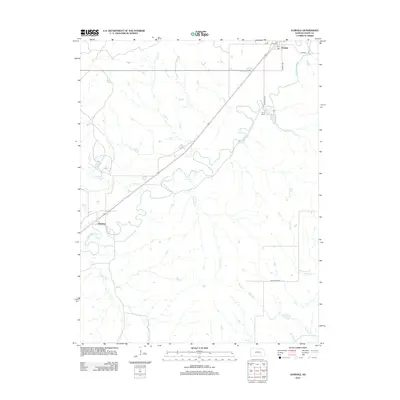
2012 Map of Elmdale
USGS Topo · Published 2012About this map
The Cottonwood River meanders across this landscape in the heart of the Flint Hills, carving a path between the settlements of Elmdale and Clements. This 2012 topographic record documents the rural character of the region, where numerous tributaries like Silver Cr, Gould Cr, and Coyne Br feed into the primary river system. Near the village of Elmdale, local landmarks such as the Po and the intersection at Main St are noted, while further south, the Camp Wood area is established along the river banks. The map illustrates a network of local roads including Murphy Ave and Campwood Rd, which connect the scattered homesteads and livestock operations typical of this part of Chase County. The drainage patterns of Holmes Cr, Folsom Cr, and Yeager Cr emphasize the dissected nature of the terrain away from the main river valley.
Find a feature on this map
17 named features on this map. Tap any name to fly to it.
Don’t see what you’re looking for? This feature index may not catch every label — zoom into the map to look around manually.
Map Details
Editions of this 2012 Elmdale Map
This is the sole edition of this map. No revisions or reprints were ever made.
Other maps of this area

1898 · Cottonwood Falls
USGS Topo · 1:125,000

1955 · Hutchinson
USGS Topo · 1:250,000

1957 · Elmdale
USGS Topo · 1:24,000

1957 · Strong City
USGS Topo · 1:24,000

1957 · Wonsevu
USGS Topo · 1:24,000

1957 · Cedar Point
USGS Topo · 1:24,000

1957 · Hymer
USGS Topo · 1:24,000

1959 · Hutchinson
USGS Topo · 1:250,000

1970 · Lincolnville NE
USGS Topo · 1:24,000

1973 · Matfield Green
USGS Topo · 1:24,000