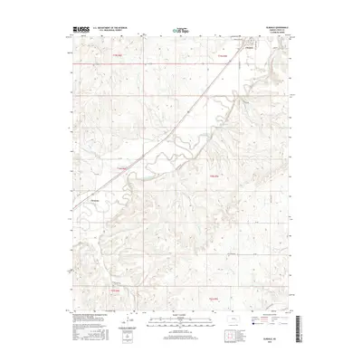
2015 Map of Elmdale
USGS Topo · Published 2015About this map
The Cottonwood River valley anchors this mid-2010s survey of Chase County, where the small settlements of Elmdale and Clements are situated along the primary transportation corridors. The landscape is defined by the drainage patterns of several tributaries including Silver Creek, Gould Creek, and Holmes Creek, which carve into the surrounding terrain. A grid of rural routes such as Camp Wood Rd and Buck Creek Rd provides access to the interior uplands and the river's floodplain. The map captures the enduring agricultural character of this region, showing the relationship between the central watercourse and the rural road network that connects these two distinct communities. Land surveys are clearly delineated by township and range boundaries including t20s r7e and t19s r6e, providing a precise framework for local property research and geographic study.
Find a feature on this map
32 named features on this map. Tap any name to fly to it.
Don’t see what you’re looking for? This feature index may not catch every label — zoom into the map to look around manually.
Map Details
Editions of this 2015 Elmdale Map
This is the sole edition of this map. No revisions or reprints were ever made.
Other maps of this area

1898 · Cottonwood Falls
USGS Topo · 1:125,000

1955 · Hutchinson
USGS Topo · 1:250,000

1957 · Elmdale
USGS Topo · 1:24,000

1957 · Strong City
USGS Topo · 1:24,000

1957 · Wonsevu
USGS Topo · 1:24,000

1957 · Cedar Point
USGS Topo · 1:24,000

1957 · Hymer
USGS Topo · 1:24,000

1959 · Hutchinson
USGS Topo · 1:250,000

1970 · Lincolnville NE
USGS Topo · 1:24,000

1973 · Matfield Green
USGS Topo · 1:24,000