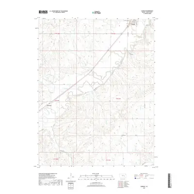
2018 Map of Elmdale
USGS Topo · Published 2018About this map
Cottonwood River meanders across this central Kansas landscape, carving a distinct valley through the rolling terrain of Chase County. The settlement of Elmdale sits at the northern edge of the sheet, defined by a tight grid of streets including Main St and Murphy Ave near the intersection of Middle Creek Rd. Further southwest, the smaller community of Clements occupies a bend in the river, serving as a secondary local hub for the surrounding ranching and agricultural land.
Find a feature on this map
31 named features on this map. Tap any name to fly to it.
Don’t see what you’re looking for? This feature index may not catch every label — zoom into the map to look around manually.
Map Details
Editions of this 2018 Elmdale Map
This is the sole edition of this map. No revisions or reprints were ever made.
Other maps of this area

1898 · Cottonwood Falls
USGS Topo · 1:125,000

1955 · Hutchinson
USGS Topo · 1:250,000

1957 · Elmdale
USGS Topo · 1:24,000

1957 · Strong City
USGS Topo · 1:24,000

1957 · Wonsevu
USGS Topo · 1:24,000

1957 · Cedar Point
USGS Topo · 1:24,000

1957 · Hymer
USGS Topo · 1:24,000

1959 · Hutchinson
USGS Topo · 1:250,000

1970 · Lincolnville NE
USGS Topo · 1:24,000

1973 · Matfield Green
USGS Topo · 1:24,000