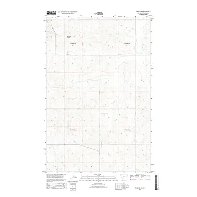
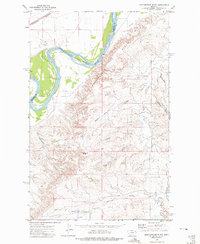
2017 Map of Elmdale NW
USGS Topo · Published 2017About this map
Nicholson Coulee and several winding seasonal drainages define this stretch of the northern Great Plains in eastern Montana. This 2017 survey by the U.S. Geological Survey details a landscape organized by the Public Land Survey System, where section lines dictate the placement of local thoroughfares like Co RD 143 and Co RD 313. The terrain is characterized by intricate coulees and draws, including Duplisse Cr and W Charlie Cr, which funnel toward larger drainage basins. The map illustrates a rural area where long-established range boundaries such as t26n r52e and t26n r53e still define the local geography, showing how infrastructure follows the natural topography of the Montana breaks.
Find a feature on this map
13 named features on this map. Tap any name to fly to it.
Don’t see what you’re looking for? This feature index may not catch every label — zoom into the map to look around manually.
Map Details
Editions of this 2017 Elmdale NW Map
This is the sole edition of this map. No revisions or reprints were ever made.
Other maps of this area

1909 · Glendive
USGS Topo · 1:250,000
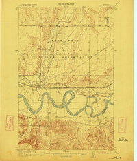
1912 · Poplar
USGS Topo · 1:62,500
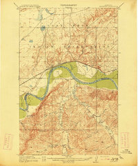
1914 · Brockton
USGS Topo · 1:62,500

1954 · Glendive
USGS Topo · 1:250,000

1954 · Wolf Point
USGS Topo · 1:250,000

1957 · Glendive
USGS Topo · 1:250,000

1958 · Wolf Point
USGS Topo · 1:250,000

1958 · Glendive
USGS Topo · 1:250,000
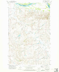
1972 · Frog Coulee
USGS Topo · 1:24,000
1972 · Mortarstone Bluff
USGS Topo · 1:24,000