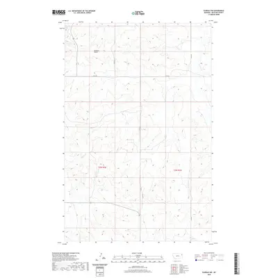
2020 Map of Elmdale NW
USGS Topo · Published 2020About this map
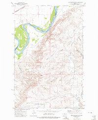
Nicholson Coulee carves through this upland corner of Richland County, defining a landscape of drainage systems and intermittent watercourses typical of the eastern Montana plains. This 2020 survey illustrates a contemporary rural grid where county roads such as Co RD 143 and Co RD 313 navigate the breaks between elevated plateaus. The drainage pattern is the primary topographical feature, with Duplisse Cr and W Charlie Cr providing the natural skeleton for the region's land use. While the map is dominated by public land survey townships like t25n r52e and t25n r53e, the lack of concentrated settlements reflects the specialized agricultural or ranching nature of the area. Researchers can trace the exact routes of modern access roads as they intersect with older natural landmarks like Horse Cr near the southern boundary.
Find a feature on this map
11 named features on this map. Tap any name to fly to it.
Don’t see what you’re looking for? This feature index may not catch every label — zoom into the map to look around manually.
Map Details
Editions of this 2020 Elmdale NW Map
This is the sole edition of this map. No revisions or reprints were ever made.
Other maps of this area

1909 · Glendive
USGS Topo · 1:250,000
1912 · Poplar
USGS Topo · 1:62,500
1914 · Brockton
USGS Topo · 1:62,500

1954 · Glendive
USGS Topo · 1:250,000

1954 · Wolf Point
USGS Topo · 1:250,000

1957 · Glendive
USGS Topo · 1:250,000

1958 · Wolf Point
USGS Topo · 1:250,000

1958 · Glendive
USGS Topo · 1:250,000
1972 · Frog Coulee
USGS Topo · 1:24,000
1972 · Mortarstone Bluff
USGS Topo · 1:24,000