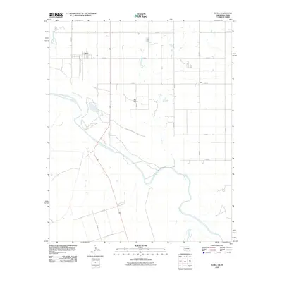
2010 Map of Elmer
USGS Topo · Published 2010About this map
Salt Fork Red River flows into the main channel of the Red River in this rural expanse of southwest Oklahoma, defining the borderlands between Jackson County and northern Texas. The settlement of Elmer sits north of the river forks, where the local street name Railroad Ave preserves the memory of the corridor that historically served this agricultural community. To the east, the small cluster of Hess is anchored by Hess Rd, while Red Hollow marks a distinct geographic feature near the river's winding path.
Find a feature on this map
25 named features on this map. Tap any name to fly to it.
Don’t see what you’re looking for? This feature index may not catch every label — zoom into the map to look around manually.
Map Details
Editions of this 2010 Elmer Map
This is the sole edition of this map. No revisions or reprints were ever made.
Other maps of this area

1955 · Lawton
USGS Topo · 1:250,000

1958 · Frederick
USGS Topo · 1:62,500

1958 · Elmer
USGS Topo · 1:62,500

1963 · Altus SE
USGS Topo · 1:24,000

1964 · Tipton
USGS Topo · 1:24,000

1964 · Olustee
USGS Topo · 1:24,000

1975 · Elmore City NE
USGS Topo · 1:24,000

1975 · Frederick SW
USGS Topo · 1:24,000

1975 · Frederick NW
USGS Topo · 1:24,000
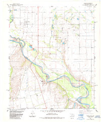
1984 · Elmer
USGS Topo · 1:24,000