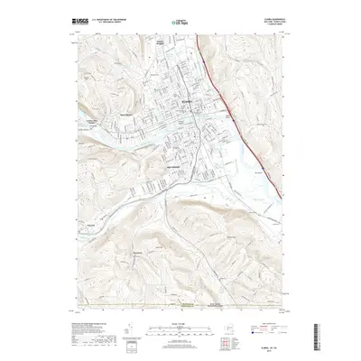
2019 Map of Elmira
USGS Topo · Published 2019About this map
The Chemung River cuts a wide arc through the heart of this valley, anchoring a dense network of neighborhoods and civic institutions. At its center, Elmira and Southport serve as the primary hubs, surrounded by smaller residential pockets like West Elmira and Elmira Heights. The map highlights a significant concentration of urban and historical landmarks, from the Chemung County Courthouse and Elmira College to numerous established burial grounds such as Woodlawn Cem and the Saints Peter and Paul Cem.
Find a feature on this map
176 named features on this map. Tap any name to fly to it.
Don’t see what you’re looking for? This feature index may not catch every label — zoom into the map to look around manually.
Map Details
Editions of this 2019 Elmira Map
This is the sole edition of this map. No revisions or reprints were ever made.
Other maps of this area

1895 · Elmira
USGS Topo · 1:62,500

1902 · Waverly
USGS Topo · 1:62,500

1905 · Watkins Glen
USGS Topo · 1:125,000

1931 · Troy
USGS Topo · 1:48,000

1938 · Troy
USGS Topo · 1:62,500

1939 · Sayre
USGS Topo · 1:62,500

1942 · Sayre
USGS Topo · 1:62,500

1948 · Sayre
USGS Topo · 1:62,500

1950 · Elmira
USGS Topo · 1:250,000
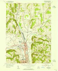
1953 · Horseheads
USGS Topo · 1:24,000