
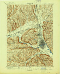
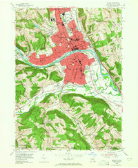
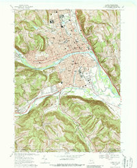
1965 Map of Elmira
USGS Topo · Published 1965About this map
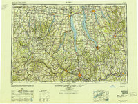
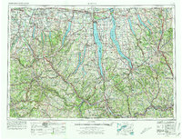
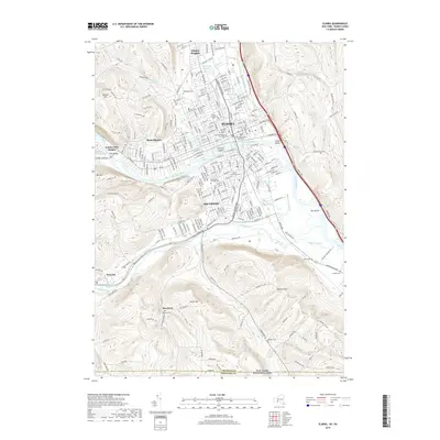
Seneca Lake and Cayuga Lake anchor this 1960s regional survey of the Finger Lakes, revealing a landscape defined by deep glacial waters and a dense transportation network. The mid-century era is marked by the presence of the Seneca Army Depot on the shores of Seneca Lake and the expansive Montezuma National Wildlife Refuge to the north. Major population centers like Elmira, Ithaca, and Auburn appear as established hubs connected by a complex web of rail lines, including the Lehigh Valley RR and the Erie RR.
Find a feature on this map
162 named features on this map. Tap any name to fly to it.
Don’t see what you’re looking for? This feature index may not catch every label — zoom into the map to look around manually.
Map Details
Editions of this 1965 Elmira Map
This is the sole edition of this map. No revisions or reprints were ever made.
Historical Maps of Syracuse Through Time
15 maps found
1895 Elmira
Chemung County, NY
1950 Elmira
Chemung County, NY

1953 Elmira
Chemung County, NY
1953 Elmira
Chemung County, NY

1958 Elmira
Chemung County, NY
1962 Elmira
Chemung County, NY
1965 Elmira
Chemung County, NY
1969 Elmira
Chemung County, NY

1986 Elmira
Chemung County, NY

1992 Elmira
Chemung County, NY
2010 Elmira
Chemung County, NY
2013 Elmira
Chemung County, NY
2016 Elmira
Chemung County, NY
2019 Elmira
Chemung County, NY

2023 Elmira
Chemung County, NY