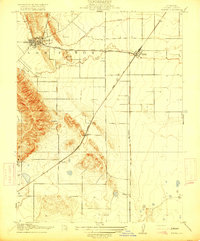
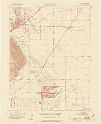
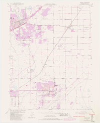
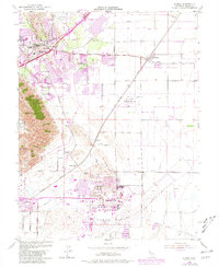
1953 Map of Elmira
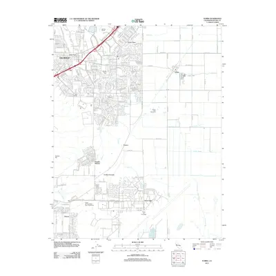
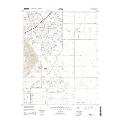
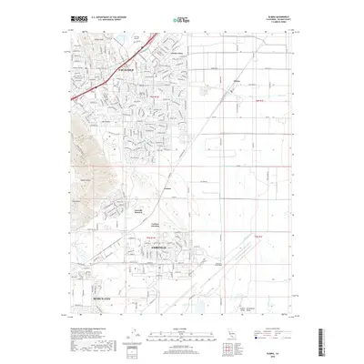
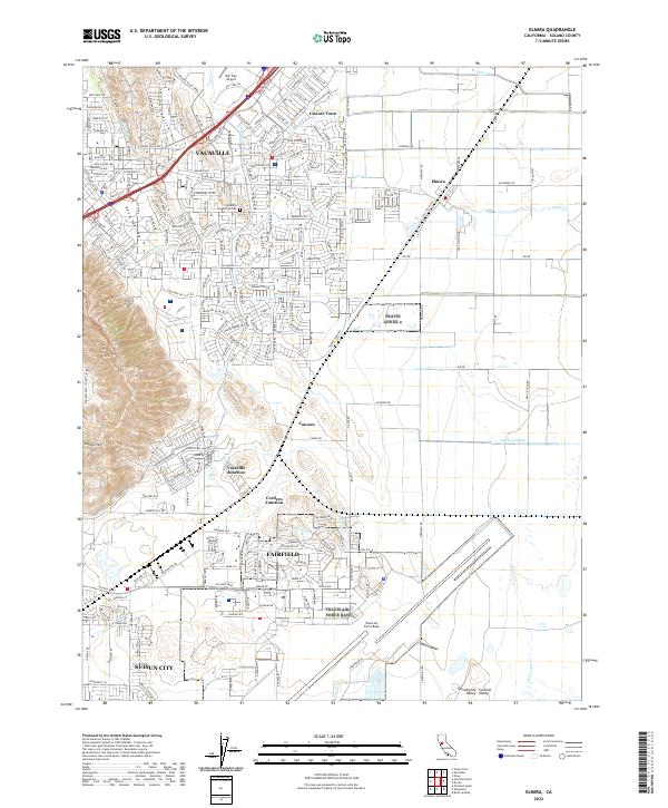
USGS Topo · Published 1981About this map
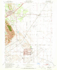
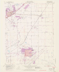
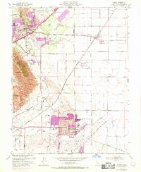
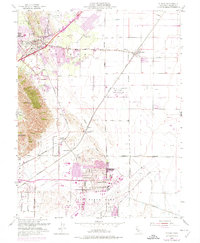
The Southern Pacific and Sacramento Northern railroads define the transportation corridor of this mid-century Solano County landscape, where the agricultural legacy of Los Putos transitions into a growing military and institutional hub. Travis Air Force Base dominates the southern portion of the sheet, centered on Travis Field, while the city of Vacaville expands toward the northeast. The presence of the California Medical Facility and several local schools, including Union High Sch and Cooper School, indicates a period of significant community infrastructure development.
Find a feature on this map
33 named features on this map. Tap any name to fly to it.
Don’t see what you’re looking for? This feature index may not catch every label — zoom into the map to look around manually.
Map Details
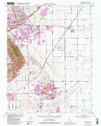
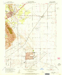
Editions of this 1953 Elmira Map
9 editions found
Historical Maps of Fairfield Through Time
6 maps found