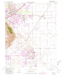
1953 Map of Elmira
USGS Topo · Published 1981About this map
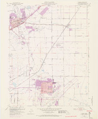
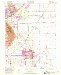
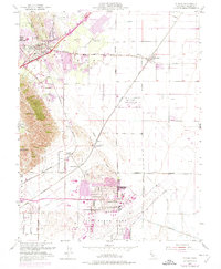
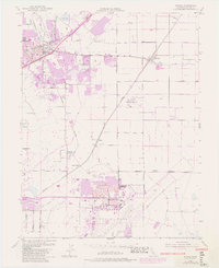
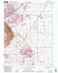
The Travis Air Force Base complex and its adjacent Travis Field dominate the southern portion of this mid-century landscape, illustrating the military's significant footprint in Solano County during the Cold War. To the northwest, the expansion of Vacaville is visible, including the California Medical Facility and the burgeoning community of Leisure Town. The map captures a transitional era where traditional agricultural lands, marked by the Putah South Canal and the English Hills, began to integrate with major infrastructure like the Nut Tree Airport and various education facilities such as Vanden High Sch and Cooper School.
Find a feature on this map
50 named features on this map. Tap any name to fly to it.
Don’t see what you’re looking for? This feature index may not catch every label — zoom into the map to look around manually.
Map Details
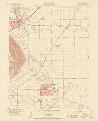
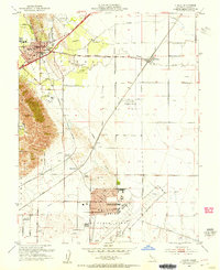
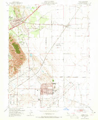
Editions of this 1953 Elmira Map
9 editions found
Other maps of this area

1896 · Carquinez Strait
USGS Topo · 1:62,500

1898 · Karquines
USGS Topo · 1:62,500

1901 · Karquines
USGS Topo · 1:62,500

1902 · Napa
USGS Topo · 1:125,000

1907 · Antioch
USGS Topo · 1:62,500

1908 · Vacaville
USGS Topo · 1:62,500

1908 · Antioch
USGS Topo · 1:62,500

1916 · Dixon
USGS Topo · 1:31,680

1916 · Maine Prairie
USGS Topo · 1:31,680

1917 · Wolfskill
USGS Topo · 1:31,680