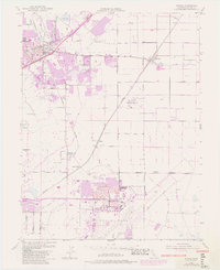
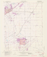
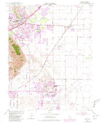
1953 Map of Elmira
USGS Topo · Published 1981About this map
Travis Air Force Base and its airfield infrastructure dominate the southern portion of this Solano County landscape, reflecting the military expansion of the mid-20th century. The transition from agricultural roots to modern institutional footprints is visible in the presence of the California Medical Facility and the growing residential pockets of Leisure Town and Vacaville. Regional connectivity is defined by the Southern Pacific and Sacramento Northern railroads, which cross near strategic points like Vacaville Junction and Cordero Junction.
Find a feature on this map
36 named features on this map. Tap any name to fly to it.
Don’t see what you’re looking for? This feature index may not catch every label — zoom into the map to look around manually.
Map Details
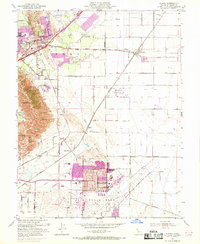
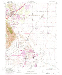
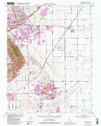
Editions of this 1953 Elmira Map
9 editions found
Other maps of this area

1896 · Carquinez Strait
USGS Topo · 1:62,500

1898 · Karquines
USGS Topo · 1:62,500

1901 · Karquines
USGS Topo · 1:62,500

1902 · Napa
USGS Topo · 1:125,000

1907 · Antioch
USGS Topo · 1:62,500

1908 · Vacaville
USGS Topo · 1:62,500

1908 · Antioch
USGS Topo · 1:62,500

1916 · Dixon
USGS Topo · 1:31,680

1916 · Maine Prairie
USGS Topo · 1:31,680

1917 · Wolfskill
USGS Topo · 1:31,680