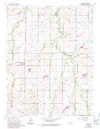
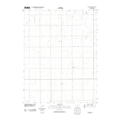
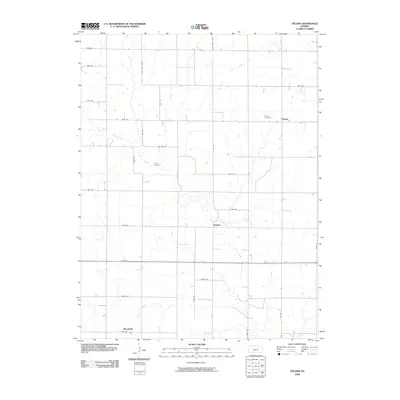
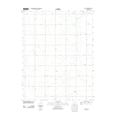
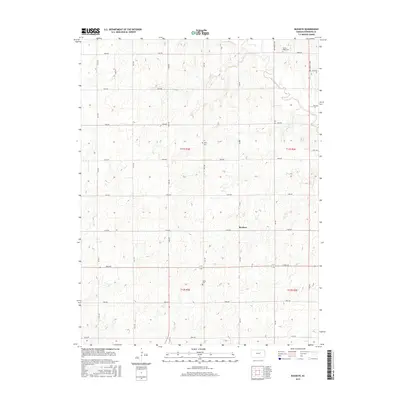
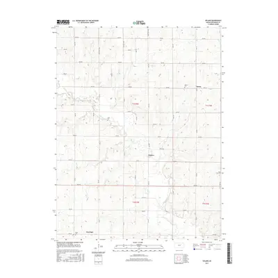
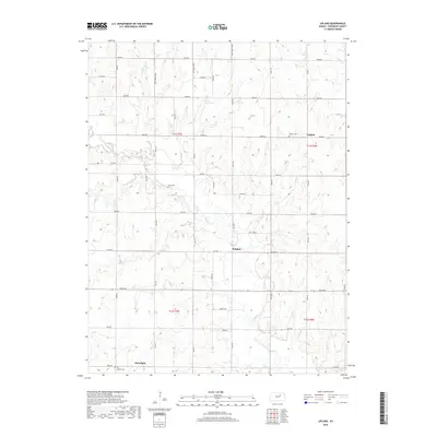
1964 Map of Elmo
USGS Topo · Published 1985About this map
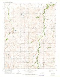
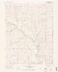
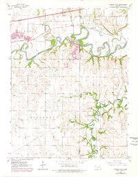
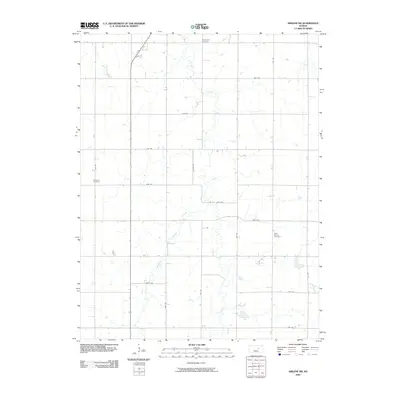
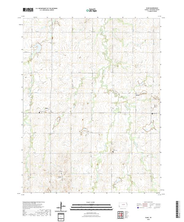
Elmo and Dillon serve as the primary focal points of this central Kansas landscape, situated along the Missouri Pacific rail line. The terrain is defined by the drainage of Turkey Creek and its tributaries, including West Branch Turkey Creek and East Turkey Creek, which carve through the elevated plains of Jefferson Ridge. This 1964 survey captures the rural infrastructure of Dickinson County, revealing an Old Railroad Grade that speaks to earlier transit routes through the township of Hope. Local history is preserved in the placement of the Ashton Cem and Mt Calvary Cem, while small-scale industry and utility are evidenced by a Quarry and a local Landing Strip. The map illustrates a settled agricultural region where the township lines of Banner and Jefferson intersect, providing a clear record of land use and property divisions in the mid-20th century.
Find a feature on this map
14 named features on this map. Tap any name to fly to it.
Don’t see what you’re looking for? This feature index may not catch every label — zoom into the map to look around manually.
Map Details
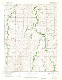
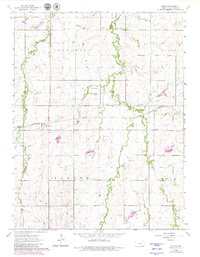
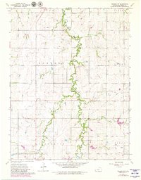
Editions of this 1964 Elmo Map
3 editions found
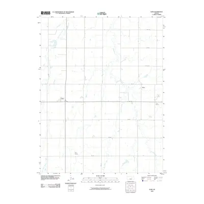
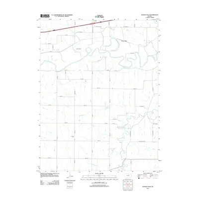
Historical Maps of Dillon Through Time
36 maps found
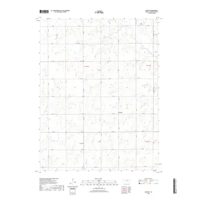
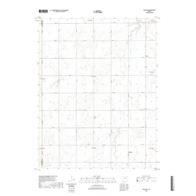
1963 Abilene SW
Dickinson County, KS
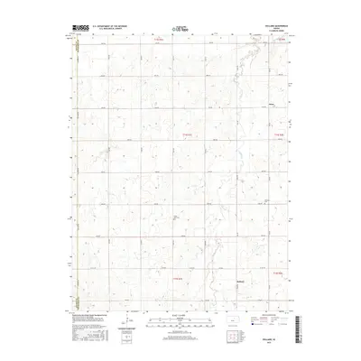
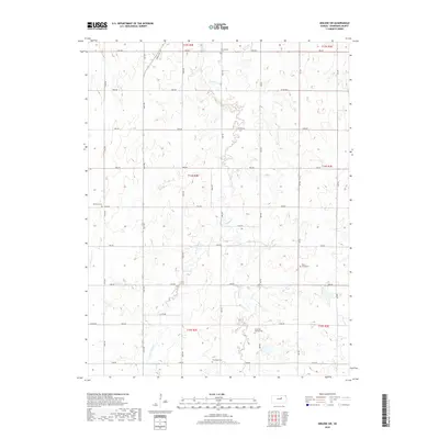
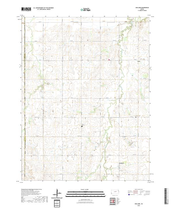
1963 Holland
Dickinson County, KS
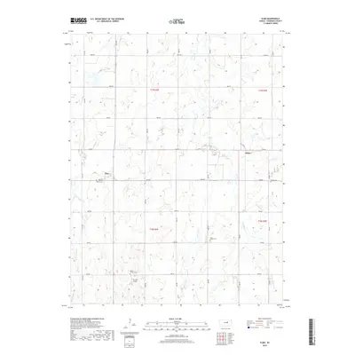
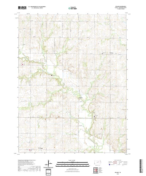
1963 Upland
Dickinson County, KS

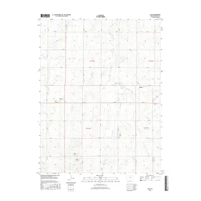
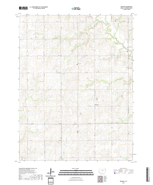
1964 Buckeye
Dickinson County, KS
1964 Elmo
Dickinson County, KS
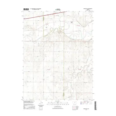
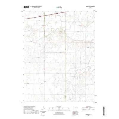
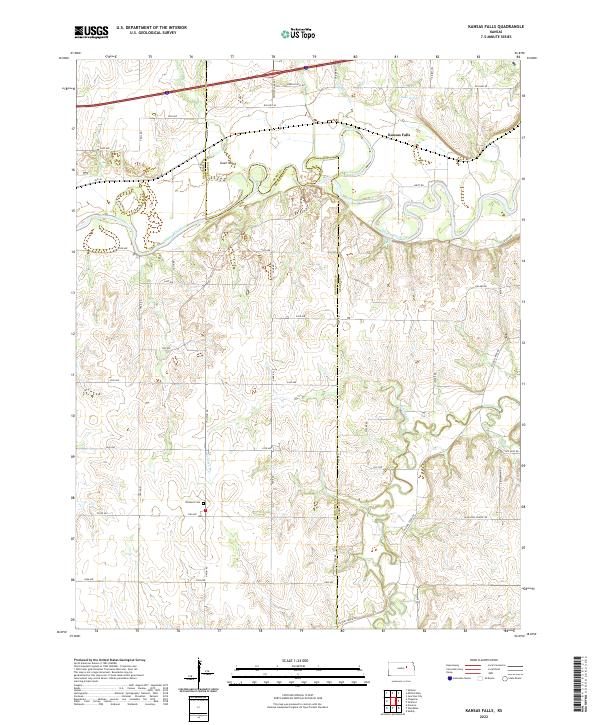
1964 Kansas Falls
Dickinson County, KS
2009 Abilene SW
Dickinson County, KS
2009 Buckeye
Dickinson County, KS
2009 Elmo
Dickinson County, KS
2009 Holland
Dickinson County, KS
2009 Kansas Falls
Dickinson County, KS
2009 Upland
Dickinson County, KS
2012 Abilene SW
Dickinson County, KS
2012 Buckeye
Dickinson County, KS
2012 Elmo
Dickinson County, KS
2012 Holland
Dickinson County, KS
2012 Kansas Falls
Dickinson County, KS
2012 Upland
Dickinson County, KS
2015 Abilene SW
Dickinson County, KS
2015 Buckeye
Dickinson County, KS
2015 Elmo
Dickinson County, KS
2015 Holland
Dickinson County, KS
2015 Kansas Falls
Dickinson County, KS
2015 Upland
Dickinson County, KS
2018 Abilene SW
Dickinson County, KS
2018 Buckeye
Dickinson County, KS
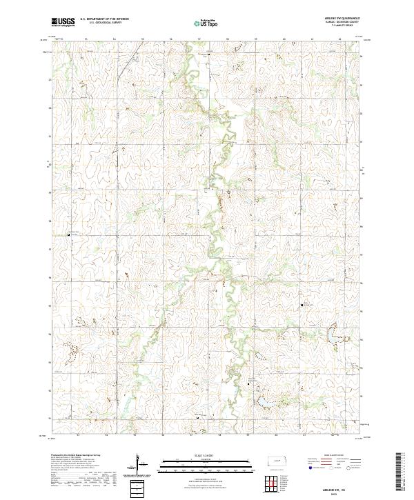
2018 Elmo
Dickinson County, KS
2018 Holland
Dickinson County, KS
2018 Kansas Falls
Dickinson County, KS
2018 Upland
Dickinson County, KS
2022 Abilene SW
Dickinson County, KS
2022 Buckeye
Dickinson County, KS
2022 Elmo
Dickinson County, KS
2022 Holland
Dickinson County, KS
2022 Kansas Falls
Dickinson County, KS
2022 Upland
Dickinson County, KS