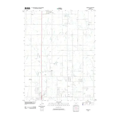
2009 Map of Elmont
USGS Topo · Published 2009About this map
Hoyt and Elmont are the primary population centers on this Jackson County landscape, characterized by a structured grid of rural roads and numerous wandering tributaries. The town of Hoyt serves as a local hub, featuring the Hoyt Post Office and Hoyt Cemetery at its northern reaches. The area is defined by its complex drainage network, where Halfday Creek and Indian Creek cut through the terrain towards the larger Muddy Creek system.
Find a feature on this map
69 named features on this map. Tap any name to fly to it.
Don’t see what you’re looking for? This feature index may not catch every label — zoom into the map to look around manually.
Map Details
Editions of this 2009 Elmont Map
This is the sole edition of this map. No revisions or reprints were ever made.
Other maps of this area

1889 · Topeka
USGS Topo · 1:125,000

1894 · Topeka
USGS Topo · 1:125,000

1950 · Kansas City
USGS Topo · 1:250,000

1950 · Topeka
USGS Topo · 1:24,000

1950 · Grantville
USGS Topo · 1:24,000

1951 · Grantville
USGS Topo · 1:24,000

1951 · Topeka
USGS Topo · 1:24,000

1952 · Silver Lake
USGS Topo · 1:24,000

1952 · Elmont
USGS Topo · 1:24,000

1952 · Grove
USGS Topo · 1:24,000