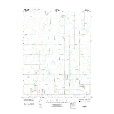
2012 Map of Elmont
USGS Topo · Published 2012About this map
Elmont and the surrounding Jackson County countryside are defined by a grid of rural roads and the meandering drainage of several small tributaries. This 2012 survey shows a landscape transitioning from open agricultural tracts to more structured residential developments, particularly in the southern portion of the quadrangle. Several family-named and local burial grounds are scattered throughout the region, including Hoyt Cem in the north and the centrally located Half-Day Cem, providing valuable touchstones for genealogical research.
Find a feature on this map
91 named features on this map. Tap any name to fly to it.
Don’t see what you’re looking for? This feature index may not catch every label — zoom into the map to look around manually.
Map Details
Editions of this 2012 Elmont Map
This is the sole edition of this map. No revisions or reprints were ever made.
Other maps of this area

1889 · Topeka
USGS Topo · 1:125,000

1894 · Topeka
USGS Topo · 1:125,000

1950 · Kansas City
USGS Topo · 1:250,000

1950 · Topeka
USGS Topo · 1:24,000

1950 · Grantville
USGS Topo · 1:24,000

1951 · Grantville
USGS Topo · 1:24,000

1951 · Topeka
USGS Topo · 1:24,000

1952 · Silver Lake
USGS Topo · 1:24,000

1952 · Elmont
USGS Topo · 1:24,000

1952 · Grove
USGS Topo · 1:24,000