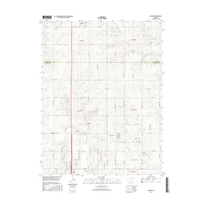
2015 Map of Elmont
USGS Topo · Published 2015About this map
The town of Hoyt stands as a focal point in the northern reaches of this landscape, situated just across the line in Jackson County. Moving southward into Shawnee County, the unincorporated community of Elmont anchors a region defined by its dendritic stream networks. This area is heavily dissected by numerous watercourses, including Halfday Cr, Indian Cr, and the several branches of Middle Fork Muddy Cr and W Fork Muddy Cr. These creeks dictate the local topography, with roads often following the higher ground between drainage basins.
Find a feature on this map
83 named features on this map. Tap any name to fly to it.
Don’t see what you’re looking for? This feature index may not catch every label — zoom into the map to look around manually.
Map Details
Editions of this 2015 Elmont Map
This is the sole edition of this map. No revisions or reprints were ever made.
Other maps of this area

1889 · Topeka
USGS Topo · 1:125,000

1894 · Topeka
USGS Topo · 1:125,000

1950 · Kansas City
USGS Topo · 1:250,000

1950 · Topeka
USGS Topo · 1:24,000

1950 · Grantville
USGS Topo · 1:24,000

1951 · Grantville
USGS Topo · 1:24,000

1951 · Topeka
USGS Topo · 1:24,000

1952 · Silver Lake
USGS Topo · 1:24,000

1952 · Elmont
USGS Topo · 1:24,000

1952 · Grove
USGS Topo · 1:24,000