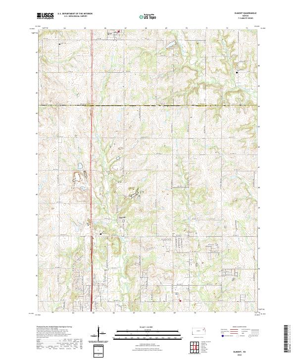
2022 Map of Elmont
USGS Topo · Published 2022About this map
The boundary between Jackson and Shawnee Counties anchors this 2022 survey, showcasing the rural landscape north of Topeka. The settlement of Hoyt occupies the northern edge, while the unincorporated community of Elmont serves as a central landmark amidst the agricultural grid. This area is defined by its subtle drainage network, where the W Fork Muddy Cr and Middle Fork Muddy Cr flow toward the east, and Halfday Cr cuts through the center of the sheet. For those tracing local heritage, the map preserves the locations of several burial grounds, including the Half Day Cem near Elmont and the Steward Cem to the northeast. The road network is a mixture of established county routes like NW 94th St and numerous named local drives, illustrating the modern residential pattern of this Kansas prairie region.
Find a feature on this map
57 named features on this map. Tap any name to fly to it.
Don’t see what you’re looking for? This feature index may not catch every label — zoom into the map to look around manually.
Map Details
Editions of this 2022 Elmont Map
This is the sole edition of this map. No revisions or reprints were ever made.
Other maps of this area

1889 · Topeka
USGS Topo · 1:125,000

1894 · Topeka
USGS Topo · 1:125,000

1950 · Kansas City
USGS Topo · 1:250,000

1950 · Topeka
USGS Topo · 1:24,000

1950 · Grantville
USGS Topo · 1:24,000

1951 · Grantville
USGS Topo · 1:24,000

1951 · Topeka
USGS Topo · 1:24,000

1952 · Silver Lake
USGS Topo · 1:24,000

1952 · Elmont
USGS Topo · 1:24,000

1952 · Grove
USGS Topo · 1:24,000