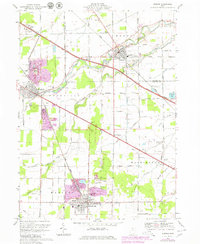
1969 Map of Elmore
USGS Topo · Published 1980About this map
The Portage River serves as the central artery for this portion of northwest Ohio, winding through the settlements of Elmore and Woodville. This 1969 survey, with revisions into the late 1970s, captures a landscape defined by its transition between agricultural fields and heavy industry. Significant quarrying activity is prominent near Woodville, while the southern reaches of the map around Gibsonburg reveal extensive mining and industrial footprints.
Find a feature on this map
53 named features on this map. Tap any name to fly to it.
Don’t see what you’re looking for? This feature index may not catch every label — zoom into the map to look around manually.
Map Details
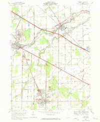
Editions of this 1969 Elmore Map
2 editions found
Other maps of this area

1900 · Maumee Bay
USGS Topo · 1:62,500

1900 · Oak Harbor
USGS Topo · 1:62,500

1901 · Fremont
USGS Topo · 1:62,500

1901 · Elmore
USGS Topo · 1:62,500

1903 · Fremont
USGS Topo · 1:62,500

1903 · Elmore
USGS Topo · 1:62,500

1935 · Walbridge
USGS Topo · 1:24,000

1935 · Genoa
USGS Topo · 1:24,000

1938 · Walbridge
USGS Topo · 1:31,680
1938 · Genoa
USGS Topo · 1:31,680