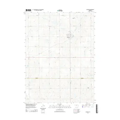
2014 Map of Elmwood
USGS Topo · Published 2014About this map
Elmwood serves as the primary hub of this eastern Nebraska landscape, where the grid of rural roads meets a network of vital waterways. The town center is structured around Railroad Ave and a series of numbered and lettered streets, including W D St and E D St. Beyond the settlement, the terrain is defined by the drainage of Weeping Water Cr and the N Fork Little Nemaha River, which are fed by numerous smaller streams like Stove Cr and Stone Cr.
Find a feature on this map
48 named features on this map. Tap any name to fly to it.
Don’t see what you’re looking for? This feature index may not catch every label — zoom into the map to look around manually.
Map Details
Editions of this 2014 Elmwood Map
This is the sole edition of this map. No revisions or reprints were ever made.
Other maps of this area

1903 · Weeping Water
USGS Topo · 1:125,000

1929 · Weeping Water
USGS Topo · 1:125,000

1955 · Lincoln
USGS Topo · 1:250,000

1957 · Lincoln
USGS Topo · 1:250,000

1958 · Lincoln
USGS Topo · 1:250,000
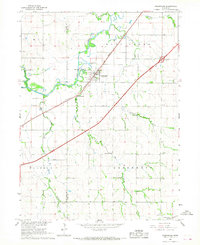
1966 · Greenwood
USGS Topo · 1:24,000
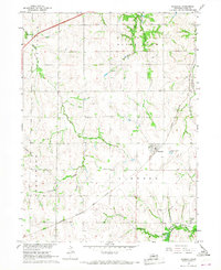
1966 · Murdock
USGS Topo · 1:24,000
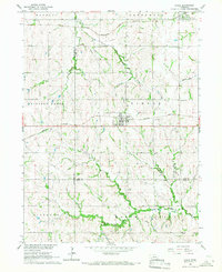
1966 · Eagle
USGS Topo · 1:24,000
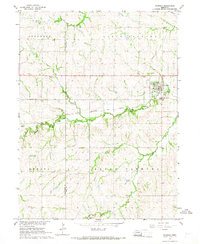
1966 · Palmyra
USGS Topo · 1:24,000
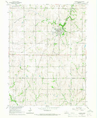
1966 · Elmwood
USGS Topo · 1:24,000