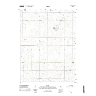
2017 Map of Elmwood
USGS Topo · Published 2017About this map
Elmwood serves as the primary hub of this eastern Nebraska landscape, situated near the headwaters of Weeping Water Cr and Stone Cr. The terrain is defined by a dense network of tributaries that carve through the agricultural tablelands, including Stove Cr and the N Fork Little Nemaha River. This 2017 survey illustrates the complex water management of the region, evidenced by several significant impoundments such as Weyers Reservoir, Wilson Creek Reservoir 11-A, and Wilson Cr Reservoir 12-25.
Find a feature on this map
34 named features on this map. Tap any name to fly to it.
Don’t see what you’re looking for? This feature index may not catch every label — zoom into the map to look around manually.
Map Details
Editions of this 2017 Elmwood Map
This is the sole edition of this map. No revisions or reprints were ever made.
Other maps of this area

1903 · Weeping Water
USGS Topo · 1:125,000

1929 · Weeping Water
USGS Topo · 1:125,000

1955 · Lincoln
USGS Topo · 1:250,000

1957 · Lincoln
USGS Topo · 1:250,000

1958 · Lincoln
USGS Topo · 1:250,000
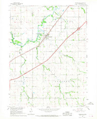
1966 · Greenwood
USGS Topo · 1:24,000
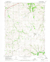
1966 · Murdock
USGS Topo · 1:24,000
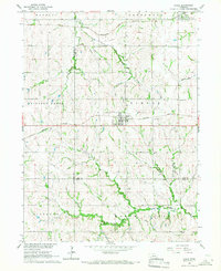
1966 · Eagle
USGS Topo · 1:24,000
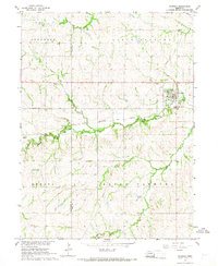
1966 · Palmyra
USGS Topo · 1:24,000
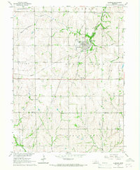
1966 · Elmwood
USGS Topo · 1:24,000