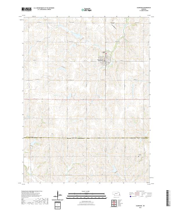
2021 Map of Elmwood
USGS Topo · Published 2021About this map
Elmwood serves as the central hub of this agricultural landscape in Cass County, where the township grid meets the winding courses of Weeping Water Creek and Stove Cr. The village is neatly platted with streets such as Adams St and Holdrege St, reflecting a settled rural community. To the north, the Bornemeier Airstrip suggests the role of small-scale aviation in this Nebraska interior, while Elmwood Cem and Pleasant Hill Cem provide important reference points for genealogists researching families from the surrounding farmsteads. The terrain is defined by its drainage towards the N Fork Little Nemaha River in the east and the presence of local water storage at Weyers Reservoir and Wilson Cr Reservoir 12-25. The boundary between Cass County and Otoe County divides the southern portion of the map, where creeks like Wolf Cr and Hooper Cr carve through the agricultural sections.
Find a feature on this map
35 named features on this map. Tap any name to fly to it.
Don’t see what you’re looking for? This feature index may not catch every label — zoom into the map to look around manually.
Map Details
Editions of this 2021 Elmwood Map
This is the sole edition of this map. No revisions or reprints were ever made.
Other maps of this area

1903 · Weeping Water
USGS Topo · 1:125,000

1929 · Weeping Water
USGS Topo · 1:125,000

1955 · Lincoln
USGS Topo · 1:250,000

1957 · Lincoln
USGS Topo · 1:250,000

1958 · Lincoln
USGS Topo · 1:250,000
1966 · Greenwood
USGS Topo · 1:24,000
1966 · Murdock
USGS Topo · 1:24,000
1966 · Eagle
USGS Topo · 1:24,000
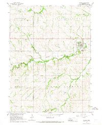
1966 · Palmyra
USGS Topo · 1:24,000
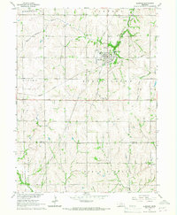
1966 · Elmwood
USGS Topo · 1:24,000