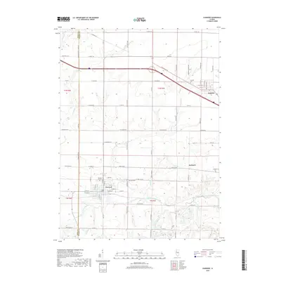
2018 Map of Elmwood
USGS Topo · Published 2018About this map
The city of Elmwood and the village of Brimfield anchor this prairie landscape along the Knox County and Peoria County line. The area is defined by its deep agricultural roots and a sophisticated network of township and county roads, including W Knoxville Rd and Martin Rd, which cut through the drainage basins of the West Fork Kickapoo Creek and Walnut Creek. Genealogists will find several well-preserved burial grounds, from the large Elmwood City Cemetery to the more secluded Lehigh Cemetery further south. The settlement of Southport sits near the headwaters of Tiber Creek, illustrating the typical development pattern of small crossroads communities established at the intersection of local thoroughfares like Claybaugh Rd and N Bell School Rd.
Find a feature on this map
45 named features on this map. Tap any name to fly to it.
Don’t see what you’re looking for? This feature index may not catch every label — zoom into the map to look around manually.
Map Details
Editions of this 2018 Elmwood Map
This is the sole edition of this map. No revisions or reprints were ever made.
Other maps of this area

1912 · Canton
USGS Topo · 1:62,500

1930 · Glasford
USGS Topo · 1:62,500

1941 · Maquon
USGS Topo · 1:62,500

1943 · Maquon
USGS Topo · 1:62,500

1944 · Elmwood
USGS Topo · 1:62,500

1948 · Elmwood
USGS Topo · 1:62,500

1948 · Glasford
USGS Topo · 1:62,500

1958 · Burlington
USGS Topo · 1:250,000

1958 · Peoria
USGS Topo · 1:250,000

1961 · Burlington
USGS Topo · 1:250,000