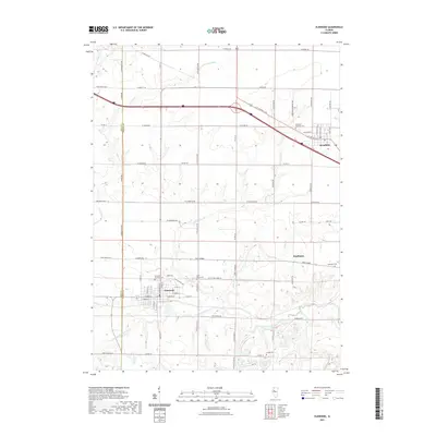
2021 Map of Elmwood
USGS Topo · Published 2021About this map
Elmwood and Brimfield anchor this rural landscape in western Peoria County, where the topography is defined by the winding drainages of the West Fork Kickapoo Creek and Walnut Cr. The map captures a high degree of local historical detail, particularly for genealogists, as it identifies numerous burial grounds such as Elmwood Township Cem, Saint Marys Cem, and the small Southport Cem near the community of Southport. The settlement pattern reflects a mix of tight-knit village grids and an extensive network of country roads like W Claybaugh Rd and W Gerber Rd that connect outlying farms. The western edge of the map tracks the Knox and Peoria county line, illustrating the border region where the drainage of French Cr meets the rolling agricultural uplands of central Illinois.
Find a feature on this map
48 named features on this map. Tap any name to fly to it.
Don’t see what you’re looking for? This feature index may not catch every label — zoom into the map to look around manually.
Map Details
Editions of this 2021 Elmwood Map
This is the sole edition of this map. No revisions or reprints were ever made.
Other maps of this area

1912 · Canton
USGS Topo · 1:62,500

1930 · Glasford
USGS Topo · 1:62,500

1941 · Maquon
USGS Topo · 1:62,500

1943 · Maquon
USGS Topo · 1:62,500

1944 · Elmwood
USGS Topo · 1:62,500

1948 · Elmwood
USGS Topo · 1:62,500

1948 · Glasford
USGS Topo · 1:62,500

1958 · Burlington
USGS Topo · 1:250,000

1958 · Peoria
USGS Topo · 1:250,000

1961 · Burlington
USGS Topo · 1:250,000