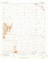
1963 Map of Eloy
USGS Topo · Published 1965About this map
Arizona City and Eloy sit at the northern edge of this agricultural and desert landscape, characterized by the expansive Santa Cruz Flats. The region is defined by a heavy reliance on irrigation, visible through the prominent Greene Canal and Greene Wash systems that cut through the terrain. To the west, the Sawtooth Mountains rise sharply above the valley floor, while the Papago Indian Reservation boundary marks the western frontier.
Find a feature on this map
33 named features on this map. Tap any name to fly to it.
Don’t see what you’re looking for? This feature index may not catch every label — zoom into the map to look around manually.
Map Details
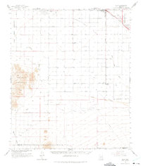
Editions of this 1963 Eloy Map
2 editions found
Other maps of this area

1922 · Red Rock No 2
USGS Topo · 1:48,000

1922 · Casa Grande
USGS Topo · 1:62,500

1922 · Signal Peak
USGS Topo · 1:62,500

1924 · Signal Peak
USGS Topo · 1:62,500

1924 · Casa Grande
USGS Topo · 1:62,500

1934 · Tucson Mountains
USGS Topo · 1:125,000

1934 · Silver Bell
USGS Topo · 1:125,000

1934 · Newman Peak
USGS Topo · 1:125,000

1942 · Silver Reef Mountains
USGS Topo · 1:62,500

1947 · Red Rock
USGS Topo · 1:62,500