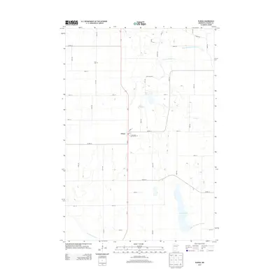
2013 Map of Elrosa
USGS Topo · Published 2013About this map
The agricultural landscape of Stearns County centers on the settlement of Elrosa, situated at the intersection of Us-71 and Co HWY-13. This 2013 survey illustrates a region defined by its sophisticated drainage network, featuring managed waterways like County Ditch Number Nine and County Ditch Number Fortyfour. These man-made improvements to the natural hydrology of Stony Cr and the N Fork Crow River facilitate the extensive farming operations that dominate the grid-patterned terrain.
Find a feature on this map
42 named features on this map. Tap any name to fly to it.
Don’t see what you’re looking for? This feature index may not catch every label — zoom into the map to look around manually.
Map Details
Editions of this 2013 Elrosa Map
This is the sole edition of this map. No revisions or reprints were ever made.
Other maps of this area
1953 · Saint Cloud
USGS Topo · 1:250,000
1957 · Saint Cloud
USGS Topo · 1:250,000
1958 · Saint Cloud
USGS Topo · 1:250,000
1965 · Greenwald
USGS Topo · 1:24,000
1965 · Sauk Centre
USGS Topo · 1:24,000
1965 · Melrose
USGS Topo · 1:24,000
1965 · Padua
USGS Topo · 1:24,000
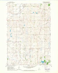
1965 · Raymond Lake
USGS Topo · 1:24,000
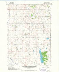
1965 · Elrosa
USGS Topo · 1:24,000
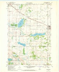
1967 · Belgrade
USGS Topo · 1:24,000