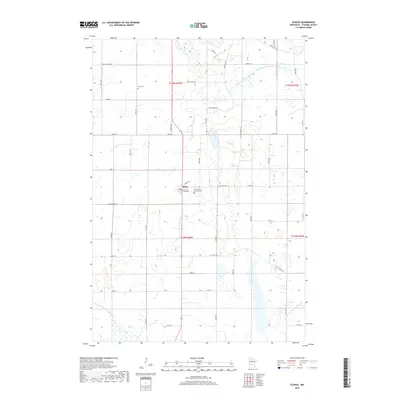
2019 Map of Elrosa
USGS Topo · Published 2019About this map
The small community of Elrosa serves as the central hub of this agricultural landscape in Stearns County. The settlement is defined by its residential grid, including Robert St and Third Ave, and is anchored by the historic Saints Peter and Paul Cem. The surrounding terrain is heavily influenced by a complex water management system designed for prairie farming, featuring extensive drainage networks like County Ditch Number Nine and County Ditch Number Fortyfour. These man-made channels intersect with natural watercourses such as Stony Cr and the N Fork Crow River in the southwestern corner. For genealogists, the map identifies local burial sites including Unity Cem, while the township and range boundaries detail the underlying land divisions of T124N and T125N.
Find a feature on this map
47 named features on this map. Tap any name to fly to it.
Don’t see what you’re looking for? This feature index may not catch every label — zoom into the map to look around manually.
Map Details
Editions of this 2019 Elrosa Map
This is the sole edition of this map. No revisions or reprints were ever made.
Other maps of this area
1953 · Saint Cloud
USGS Topo · 1:250,000
1957 · Saint Cloud
USGS Topo · 1:250,000
1958 · Saint Cloud
USGS Topo · 1:250,000
1965 · Greenwald
USGS Topo · 1:24,000
1965 · Sauk Centre
USGS Topo · 1:24,000
1965 · Melrose
USGS Topo · 1:24,000
1965 · Padua
USGS Topo · 1:24,000
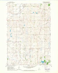
1965 · Raymond Lake
USGS Topo · 1:24,000
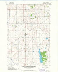
1965 · Elrosa
USGS Topo · 1:24,000
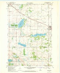
1967 · Belgrade
USGS Topo · 1:24,000