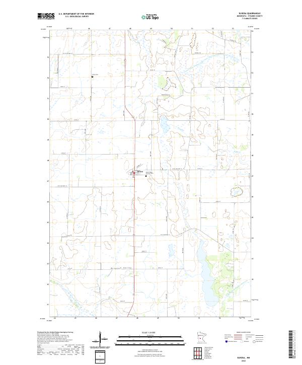
2022 Map of Elrosa
USGS Topo · Published 2022About this map
Elrosa sits at the heart of this Stearns County landscape, a community defined by its placement within the productive Bonanza Valley. The map reveals a highly structured agricultural grid, where local life centers around landmarks such as Saints Peter and Paul Cem and the more distant Unity Cem. The drainage patterns of the region are exceptionally distinct, with engineered watercourses like County Ditch Number Nine and County Ditch Number Fortyfour intersecting the natural flow of Stony Cr.
Find a feature on this map
32 named features on this map. Tap any name to fly to it.
Don’t see what you’re looking for? This feature index may not catch every label — zoom into the map to look around manually.
Map Details
Editions of this 2022 Elrosa Map
This is the sole edition of this map. No revisions or reprints were ever made.
Other maps of this area

1953 · Saint Cloud
USGS Topo · 1:250,000

1957 · Saint Cloud
USGS Topo · 1:250,000

1958 · Saint Cloud
USGS Topo · 1:250,000

1965 · Greenwald
USGS Topo · 1:24,000

1965 · Sauk Centre
USGS Topo · 1:24,000

1965 · Melrose
USGS Topo · 1:24,000

1965 · Padua
USGS Topo · 1:24,000

1965 · Raymond Lake
USGS Topo · 1:24,000

1965 · Elrosa
USGS Topo · 1:24,000

1967 · Belgrade
USGS Topo · 1:24,000