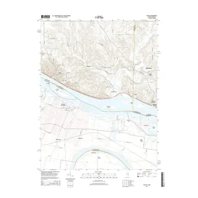
2015 Map of Elsah
USGS Topo · Published 2015About this map
Portage Des Sioux and the Missouri town of Machens occupy the low-lying peninsula where the Mississippi River and Missouri River nearly meet. Across the water on the Illinois side, the village of Elsah is positioned among the bluffs, serving as home to the Principia College campus. This river junction landscape is defined by its dramatic elevation changes and a series of large islands, including Portage Island, Eagles Nest Island, and Pelican Island.
Find a feature on this map
97 named features on this map. Tap any name to fly to it.
Don’t see what you’re looking for? This feature index may not catch every label — zoom into the map to look around manually.
Map Details
Editions of this 2015 Elsah Map
This is the sole edition of this map. No revisions or reprints were ever made.
Other maps of this area
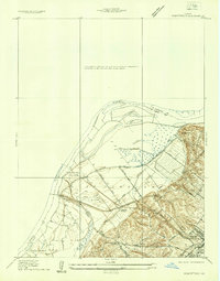
1924 · Robertson
USGS Topo · 1:24,000
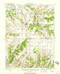
1925 · Brighton
USGS Topo · 1:62,500

1927 · Alton
USGS Topo · 1:62,500

1927 · St. Charles
USGS Topo · 1:62,500
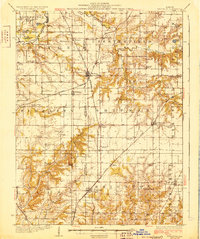
1928 · Brighton
USGS Topo · 1:62,500
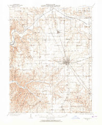
1930 · Jerseyville
USGS Topo · 1:62,500
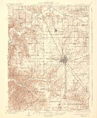
1933 · Jerseyville
USGS Topo · 1:62,500
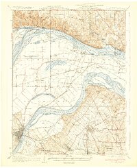
1933 · Saint Charles
USGS Topo · 1:62,500
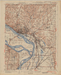
1934 · Alton
USGS Topo · 1:62,500

1935 · Florissant
USGS Topo · 1:24,000