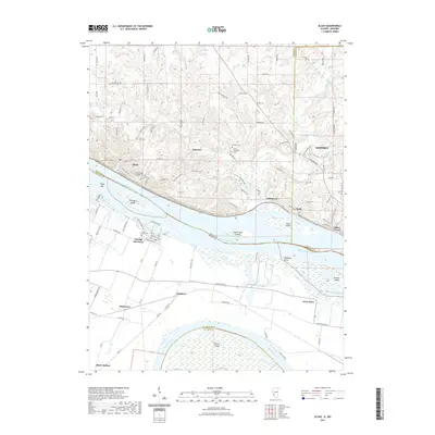
2021 Map of Elsah
USGS Topo · Published 2021About this map
Principia College overlooks the Mississippi River bluffs above the village of Elsah, anchoring a landscape where the river defines the border between Illinois and Missouri. The confluence geography is clear as the Missouri River enters from the southwest, creating a complex network of islands and sloughs, including Pelican Island and Portage Island. The Illinois side features several small communities such as Beltrees, Lockhaven, and Riehl, linked by winding bluff roads like Elsah Rd and Cemetery Rd. Genealogists will find numerous burial sites recorded, from the Elsah Cem to the Saint Michaels Cem near the river bluffs. Across the water in Missouri, the town of Portage Des Sioux sits on the low-lying peninsula between the two great rivers, surrounded by agricultural settlements like Whitecorn and Machens that rely on the fertile but flood-prone bottomlands.
Find a feature on this map
121 named features on this map. Tap any name to fly to it.
Don’t see what you’re looking for? This feature index may not catch every label — zoom into the map to look around manually.
Map Details
Editions of this 2021 Elsah Map
This is the sole edition of this map. No revisions or reprints were ever made.
Other maps of this area

1924 · Robertson
USGS Topo · 1:24,000

1925 · Brighton
USGS Topo · 1:62,500

1927 · Alton
USGS Topo · 1:62,500

1927 · St. Charles
USGS Topo · 1:62,500

1928 · Brighton
USGS Topo · 1:62,500

1930 · Jerseyville
USGS Topo · 1:62,500

1933 · Jerseyville
USGS Topo · 1:62,500

1933 · Saint Charles
USGS Topo · 1:62,500

1934 · Alton
USGS Topo · 1:62,500

1935 · Florissant
USGS Topo · 1:24,000