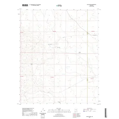
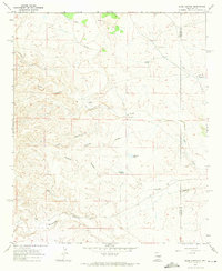
2020 Map of Elsie Canyon
USGS Topo · Published 2020About this map
Elsie Canyon and its network of ephemeral drainage systems define this landscape along the boundary of Lincoln and Chaves Counties. The terrain is deeply incised by multiple named canyons, including Cherry Canyon and Catclaw Canyon, which feed into Salt Cr as it winds through the central corridor. This topographic study from the Bureau of Land Management and USGS data sources reveals a sparsely populated ranching or grazing environment where water management is critical, evidenced by isolated features like Antelope Lake and Chimney Lake. Transportation is limited to a few arterial local roads such as W Pine Lodge Rd and Draper Rd, which traverse the high ground between canyon breaks. The map provides a precise look at the township and range survey lines that partitioned this arid New Mexico territory into its modern agricultural and jurisdictional blocks.
Find a feature on this map
20 named features on this map. Tap any name to fly to it.
Don’t see what you’re looking for? This feature index may not catch every label — zoom into the map to look around manually.
Map Details
Editions of this 2020 Elsie Canyon Map
This is the sole edition of this map. No revisions or reprints were ever made.
Other maps of this area
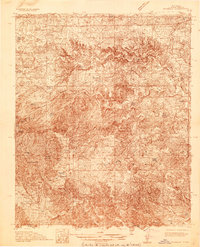
1936 · Arabela
USGS Topo · 1:48,000
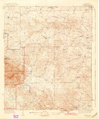
1942 · Arabela
USGS Topo · 1:62,500

1955 · Roswell
USGS Topo · 1:250,000

1958 · Roswell
USGS Topo · 1:250,000
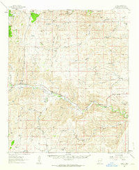
1961 · Tinnie
USGS Topo · 1:62,500
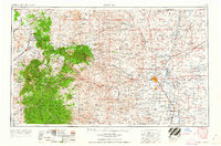
1962 · Roswell
USGS Topo · 1:250,000
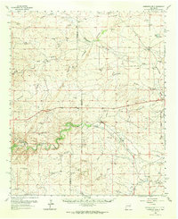
1962 · Horseshoe Bend
USGS Topo · 1:62,500
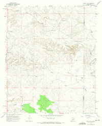
1967 · White Flat
USGS Topo · 1:24,000
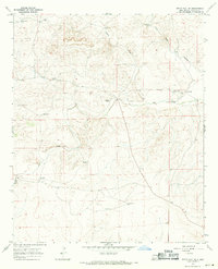
1967 · White Flat SE
USGS Topo · 1:24,000
1967 · Elsie Canyon
USGS Topo · 1:24,000