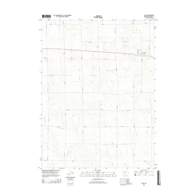
2014 Map of Elsie
USGS Topo · Published 2014About this map
Elsie occupies the northeastern portion of this Perkins County landscape, situated along a primary transportation corridor that includes the Paxton-Elsie Rd and McCullough Ave. The surrounding terrain is characterized by the agricultural patterns of the Nebraska plains, defined by a rigid grid of local routes like Road 760 and Road 341. Water management is a visible priority in this environment, evidenced by Schack Reservoir Number 1 and Schack Reservoir Number 2 north of the main settlement. To the southwest, the drainage of Stinking Water Cr meanders through the section lines, providing a natural break in the geometric land divisions. The map reveals the relationship between the concentrated village center and the expansive network of section roads that support the region's rural economy.
Find a feature on this map
20 named features on this map. Tap any name to fly to it.
Don’t see what you’re looking for? This feature index may not catch every label — zoom into the map to look around manually.
Map Details
Editions of this 2014 Elsie Map
This is the sole edition of this map. No revisions or reprints were ever made.
Other maps of this area

1954 · McCook
USGS Topo · 1:250,000

1957 · McCook
USGS Topo · 1:250,000

1958 · McCook
USGS Topo · 1:250,000
1973 · Grainton
USGS Topo · 1:24,000
1973 · Grant NE
USGS Topo · 1:24,000
1973 · Imperial NE
USGS Topo · 1:24,000
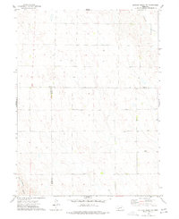
1973 · Dittons Creek NE
USGS Topo · 1:24,000
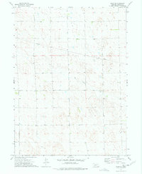
1973 · Elsie NW
USGS Topo · 1:24,000
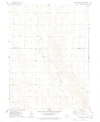
1973 · Dittons Creek NW
USGS Topo · 1:24,000
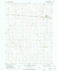
1973 · Elsie
USGS Topo · 1:24,000