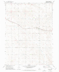
1973 Map of Grainton
USGS Topo · Published 1977About this map
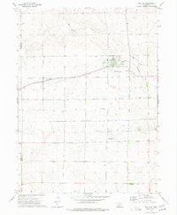
Grainton sits as the primary settlement on this High Plains landscape, situated along the Burlington Northern railroad corridor. The area is defined by a systematic grid of section lines and field boundaries, interspersed with the natural drainage of Blackwood Creek in the southeastern quadrant. This survey, conducted in the early 1970s, documents the intersection of rural agriculture and infrastructure, noting features like a local Substation and the Elsie Cem located near the western boundary. Numerous wells are marked across the terrain, illustrating the vital role of groundwater management in sustaining the region's farms and homesteads. The map provides a precise record of land use, including specific fence and field lines that were visible from aerial photography during the mapping process.
Find a feature on this map
6 named features on this map. Tap any name to fly to it.
Don’t see what you’re looking for? This feature index may not catch every label — zoom into the map to look around manually.
Map Details
Editions of this 1973 Grainton Map
This is the sole edition of this map. No revisions or reprints were ever made.
Other maps of this area

1954 · McCook
USGS Topo · 1:250,000

1957 · McCook
USGS Topo · 1:250,000

1958 · McCook
USGS Topo · 1:250,000

1973 · Dittons Creek NE
USGS Topo · 1:24,000
1973 · Elsie NW
USGS Topo · 1:24,000

1973 · Dittons Creek NW
USGS Topo · 1:24,000
1973 · Elsie
USGS Topo · 1:24,000
1973 · Wallace NW
USGS Topo · 1:24,000
1973 · Wallace
USGS Topo · 1:24,000

1973 · Hayes Center NW
USGS Topo · 1:24,000