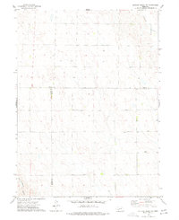
1973 Map of Dittons Creek NE
USGS Topo · Published 1977About this map
The intersection of Perkins, Chase, and Hayes counties forms a remote high-plains landscape captured by photogrammetric methods in the early 1970s. This agricultural expanse is characterized by its drainage patterns and dispersed resource extraction points, where several Well sites are located throughout the sections. In the southeast corner, Attica Cem stands as a primary genealogical landmark for the surrounding rural area.
Find a feature on this map
6 named features on this map. Tap any name to fly to it.
Don’t see what you’re looking for? This feature index may not catch every label — zoom into the map to look around manually.
Map Details
Editions of this 1973 Dittons Creek NE Map
This is the sole edition of this map. No revisions or reprints were ever made.
Other maps of this area

1954 · McCook
USGS Topo · 1:250,000

1957 · McCook
USGS Topo · 1:250,000

1958 · McCook
USGS Topo · 1:250,000
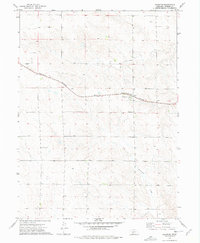
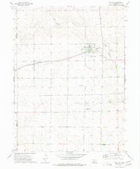
1973 · Grainton
USGS Topo · 1:24,000
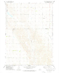
1973 · Dittons Creek NW
USGS Topo · 1:24,000
1973 · Elsie
USGS Topo · 1:24,000
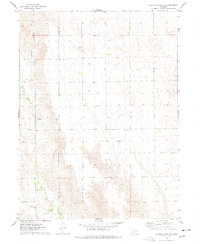
1973 · Wallace
USGS Topo · 1:24,000
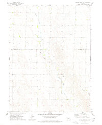
1973 · Hayes Center NW
USGS Topo · 1:24,000
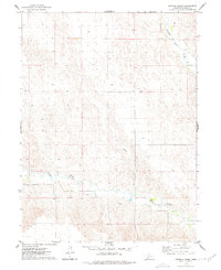
1974 · Dittons Creek SE
USGS Topo · 1:24,000
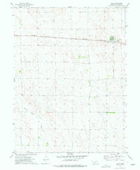
1974 · Dittons Creek
USGS Topo · 1:24,000