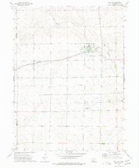
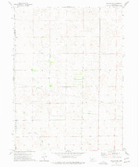
1973 Map of Wallace
USGS Topo · Published 1977About this map
Wallace serves as the primary hub of this Southwest Nebraska landscape, situated at the intersection of the Burlington Northern railroad and the county line shared by Perkins and Lincoln Counties. The community is defined by its agricultural infrastructure and transit links, including the Wallace Municipal Airport and a localized Substation north of the village. The surrounding prairie is drained by the winding course of Red Willow Creek to the north and Dry Creek to the south, revealing a terrain shaped by intermittent waterflow and ranching needs. Genealogists and local historians can locate the Morning View Cem south of town, while evidence of local industry is found at the Sandpit and private aviation markers like the Van Boening Landing Strip. This 1973 survey records a period of established rail transport and rural utility development before modern infrastructure shifts.
Find a feature on this map
12 named features on this map. Tap any name to fly to it.
Don’t see what you’re looking for? This feature index may not catch every label — zoom into the map to look around manually.
Map Details
Editions of this 1973 Wallace Map
This is the sole edition of this map. No revisions or reprints were ever made.
Other maps of this area

1954 · McCook
USGS Topo · 1:250,000

1957 · McCook
USGS Topo · 1:250,000

1958 · McCook
USGS Topo · 1:250,000
1973 · Grainton
USGS Topo · 1:24,000

1973 · Dittons Creek NE
USGS Topo · 1:24,000

1973 · Suttlers Canyon West
USGS Topo · 1:24,000
1973 · Wallace NE
USGS Topo · 1:24,000
1973 · Melton Ranch Airport
USGS Topo · 1:24,000
1973 · Wallace NW
USGS Topo · 1:24,000

1973 · Hayes Center NW
USGS Topo · 1:24,000