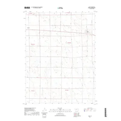
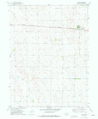
2017 Map of Elsie
USGS Topo · Published 2017About this map
Elsie and the eastern edge of Madrid anchor this western Nebraska landscape, where the high plains terrain is defined by a rigorous grid of section lines and rural routes. The local economy and travel are centered on Hwy 23, which runs east-west connecting these two agricultural communities. In the southern half of the quadrangle, the drainage of Stinking Water Cr meanders through the landscape, providing a natural break in the otherwise systematic road network of Rd 755 and Rd 756.
Find a feature on this map
30 named features on this map. Tap any name to fly to it.
Don’t see what you’re looking for? This feature index may not catch every label — zoom into the map to look around manually.
Map Details
Editions of this 2017 Elsie Map
This is the sole edition of this map. No revisions or reprints were ever made.
Other maps of this area

1954 · McCook
USGS Topo · 1:250,000

1957 · McCook
USGS Topo · 1:250,000

1958 · McCook
USGS Topo · 1:250,000
1973 · Grainton
USGS Topo · 1:24,000
1973 · Grant NE
USGS Topo · 1:24,000

1973 · Imperial NE
USGS Topo · 1:24,000

1973 · Dittons Creek NE
USGS Topo · 1:24,000
1973 · Elsie NW
USGS Topo · 1:24,000

1973 · Dittons Creek NW
USGS Topo · 1:24,000
1973 · Elsie
USGS Topo · 1:24,000