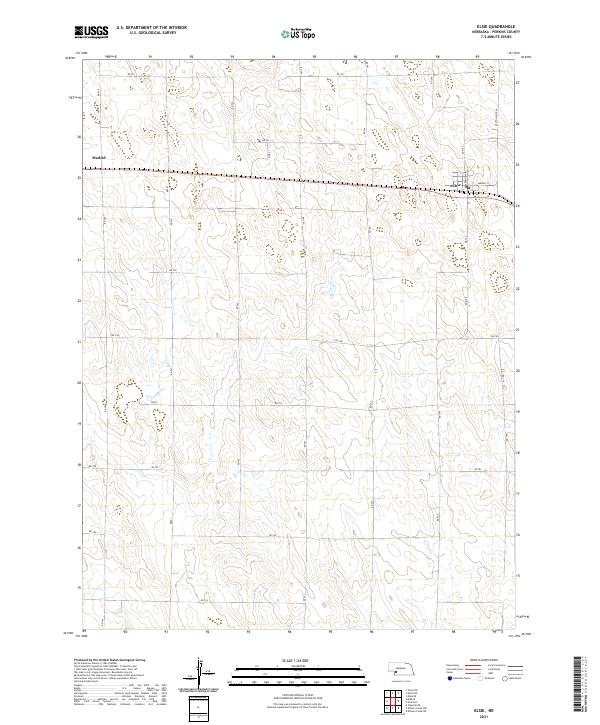
2021 Map of Elsie
USGS Topo · Published 2021About this map
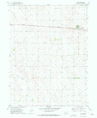
Elsie and the eastern edge of Madrid anchor this high-plains landscape in Perkins County. The layout reflects a classic Nebraska township structure, dominated by the vital corridor of Hwy 23 and a network of section-line roads like Rd 341 and Rd 756. Within the village of Elsie, the local street grid is defined by Perkins Ave and Madrid St, illustrating the core of this rural agricultural community. The surrounding terrain is marked by subtle depressions and the broad, open drainage patterns characteristic of the region's cattle and grain country. A significant north-south artery, Paxton-Elsie Rd, connects the town to the wider county, while various rural routes such as Rd 762 and Rd 754 provide access to the expansive agricultural sections that define the local economy and history.
Find a feature on this map
30 named features on this map. Tap any name to fly to it.
Don’t see what you’re looking for? This feature index may not catch every label — zoom into the map to look around manually.
Map Details
Editions of this 2021 Elsie Map
This is the sole edition of this map. No revisions or reprints were ever made.
Other maps of this area

1954 · McCook
USGS Topo · 1:250,000

1957 · McCook
USGS Topo · 1:250,000

1958 · McCook
USGS Topo · 1:250,000
1973 · Grainton
USGS Topo · 1:24,000
1973 · Grant NE
USGS Topo · 1:24,000

1973 · Imperial NE
USGS Topo · 1:24,000

1973 · Dittons Creek NE
USGS Topo · 1:24,000
1973 · Elsie NW
USGS Topo · 1:24,000

1973 · Dittons Creek NW
USGS Topo · 1:24,000
1973 · Elsie
USGS Topo · 1:24,000