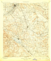
1901 Map of Elsinore
USGS Topo · Published 1913About this map
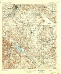
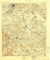
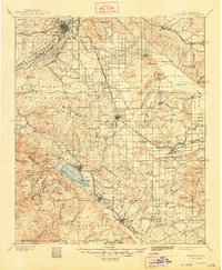
Elsinore Lake sits at the heart of this inland basin, surrounded by a landscape defined by early mining endeavors and agricultural expansion. Just before the turn of the century, the region's economy is etched into the terrain through sites like the Cajalco Tin Mine and the Alberhill Coal Mine. The map traces the critical water infrastructure of the era, including the Gage Canal and the San Jacinto and Pleasant Valley Canal, which transformed the arid El Sobrante de San Jacinto into productive citrus and field lands.
Find a feature on this map
115 named features on this map. Tap any name to fly to it.
Don’t see what you’re looking for? This feature index may not catch every label — zoom into the map to look around manually.
Map Details
Editions of this 1901 Elsinore Map
8 editions found
Other maps of this area

1896 · San Bernardino
USGS Topo · 1:62,500

1897 · Cucamonga
USGS Topo · 1:62,500

1898 · San Bernardino
USGS Topo · 1:62,500

1899 · Redlands
USGS Topo · 1:62,500

1900 · Cucamonga
USGS Topo · 1:62,500

1901 · Southern California Sheet No. 1
USGS Topo · 1:250,000

1901 · San Jacinto
USGS Topo · 1:125,000

1901 · San Bernardino
USGS Topo · 1:62,500

1901 · Redlands
USGS Topo · 1:62,500

1901 · Elsinore
USGS Topo · 1:125,000