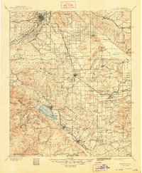
1901 Map of Elsinore
USGS Topo · Published 1948About this map
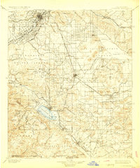
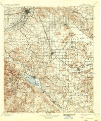
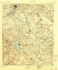
Riverside serves as the northern anchor of this late 19th-century landscape, characterized by an extensive network of irrigation canals and early rail infrastructure. The Southern California Ry. and the Riverside Motor RR. thread through the valley, supporting the growth of citrus colonies like Arlington and Casa Blanca. Beyond the established city, the map reveals a rugged mining economy in the surrounding hills. Significant industrial operations are documented, including the Cajalco Tin Mine and the Alberhill Coal Mine, alongside several gold prospects like the Goodhope Mine.
Find a feature on this map
127 named features on this map. Tap any name to fly to it.
Don’t see what you’re looking for? This feature index may not catch every label — zoom into the map to look around manually.
Map Details
Editions of this 1901 Elsinore Map
8 editions found
Other maps of this area

1896 · San Bernardino
USGS Topo · 1:62,500

1897 · Cucamonga
USGS Topo · 1:62,500

1898 · San Bernardino
USGS Topo · 1:62,500

1899 · Redlands
USGS Topo · 1:62,500

1900 · Cucamonga
USGS Topo · 1:62,500

1901 · Southern California Sheet No. 1
USGS Topo · 1:250,000

1901 · San Jacinto
USGS Topo · 1:125,000

1901 · San Bernardino
USGS Topo · 1:62,500

1901 · Redlands
USGS Topo · 1:62,500

1901 · Elsinore
USGS Topo · 1:125,000