
1901 Map of Elsinore
USGS Topo · Published 1901About this map
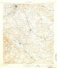
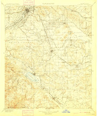
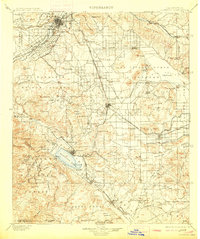
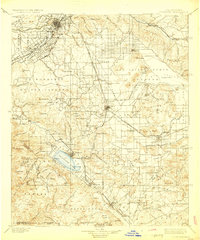
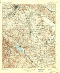
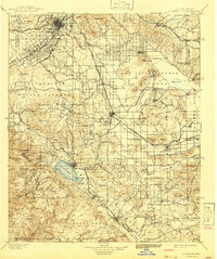
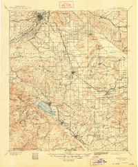
The Santa Ana River and the burgeoning city of Riverside anchor this turn-of-the-century landscape, revealing a region defined by early water engineering and mineral extraction. The presence of the Gage Canal near Arlington illustrates the vital irrigation infrastructure that supported the citrus industry, while the Southern California rail network, including the San Jacinto Division, connects scattered settlements like Perris and Winchester.
Find a feature on this map
110 named features on this map. Tap any name to fly to it.
Don’t see what you’re looking for? This feature index may not catch every label — zoom into the map to look around manually.
Map Details
Editions of this 1901 Elsinore Map
8 editions found
Other maps of this area

1896 · San Bernardino
USGS Topo · 1:62,500

1897 · Cucamonga
USGS Topo · 1:62,500

1898 · San Bernardino
USGS Topo · 1:62,500

1899 · Redlands
USGS Topo · 1:62,500

1900 · Cucamonga
USGS Topo · 1:62,500

1901 · Southern California Sheet No. 1
USGS Topo · 1:250,000

1901 · San Jacinto
USGS Topo · 1:125,000

1901 · San Bernardino
USGS Topo · 1:62,500

1901 · Redlands
USGS Topo · 1:62,500

1901 · San Luis Rey
USGS Topo · 1:125,000